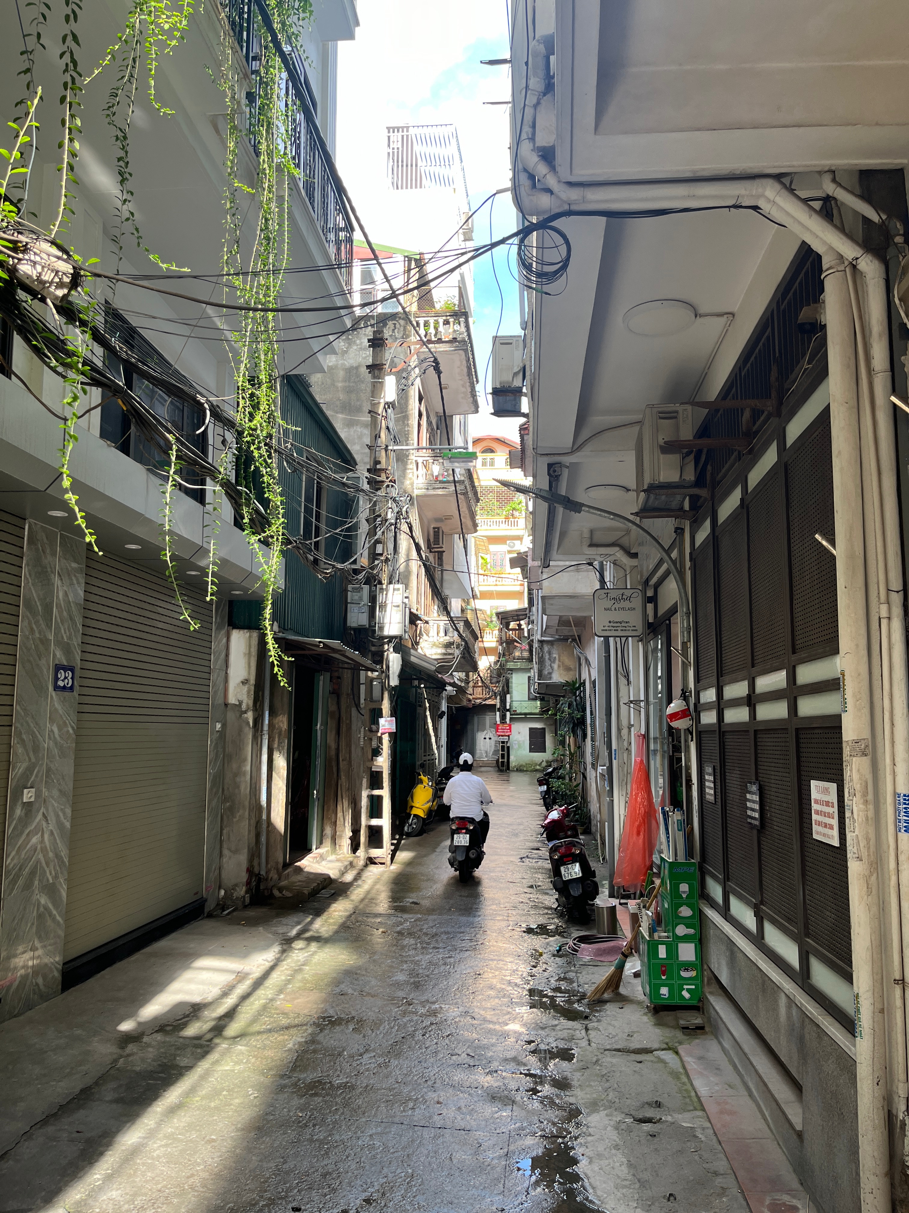
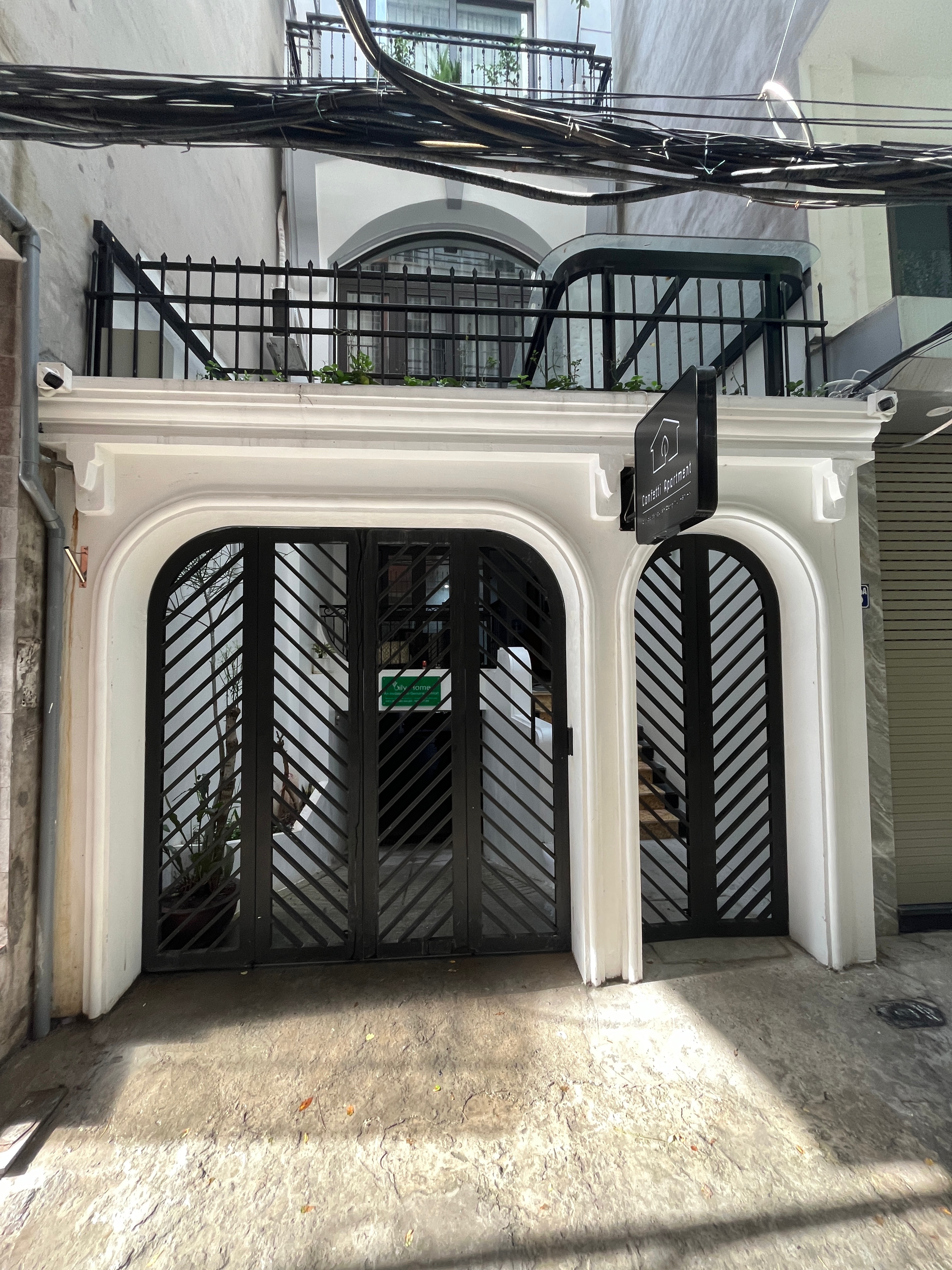
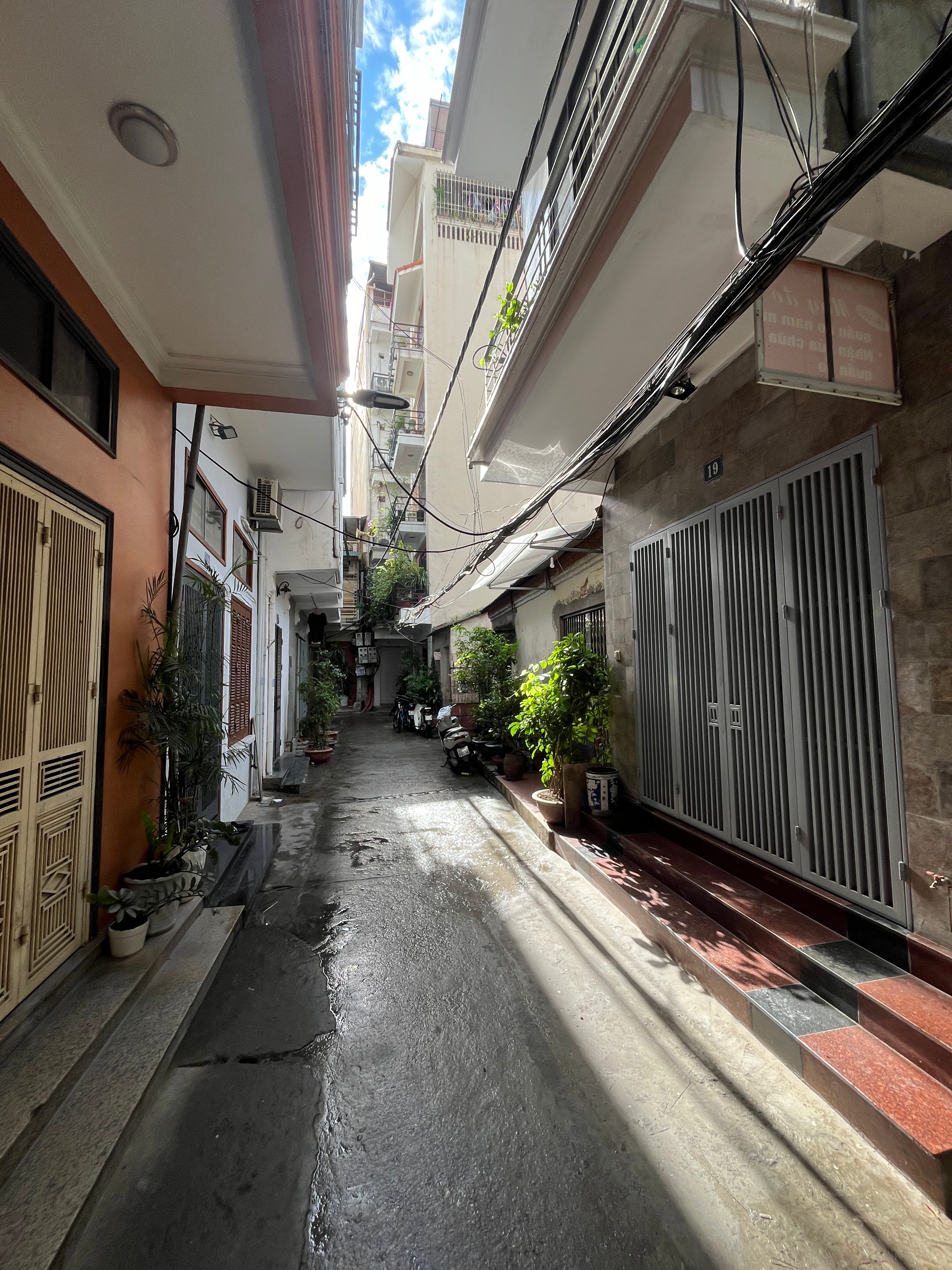
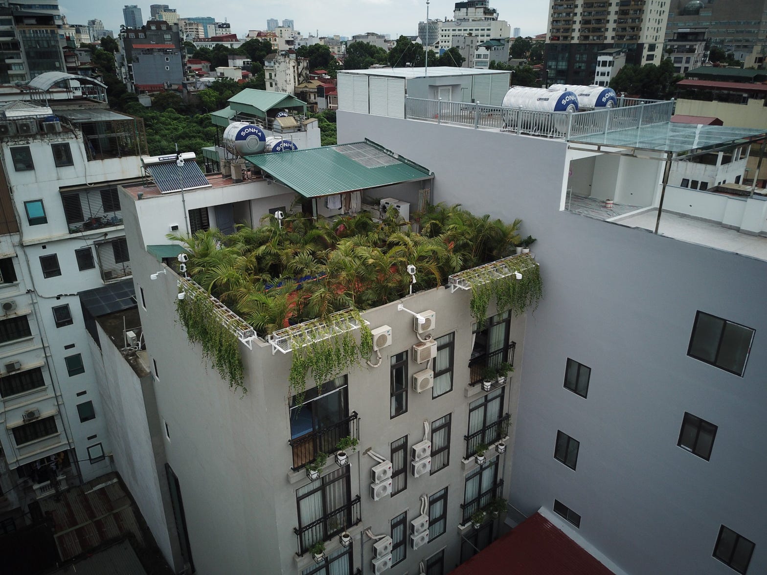
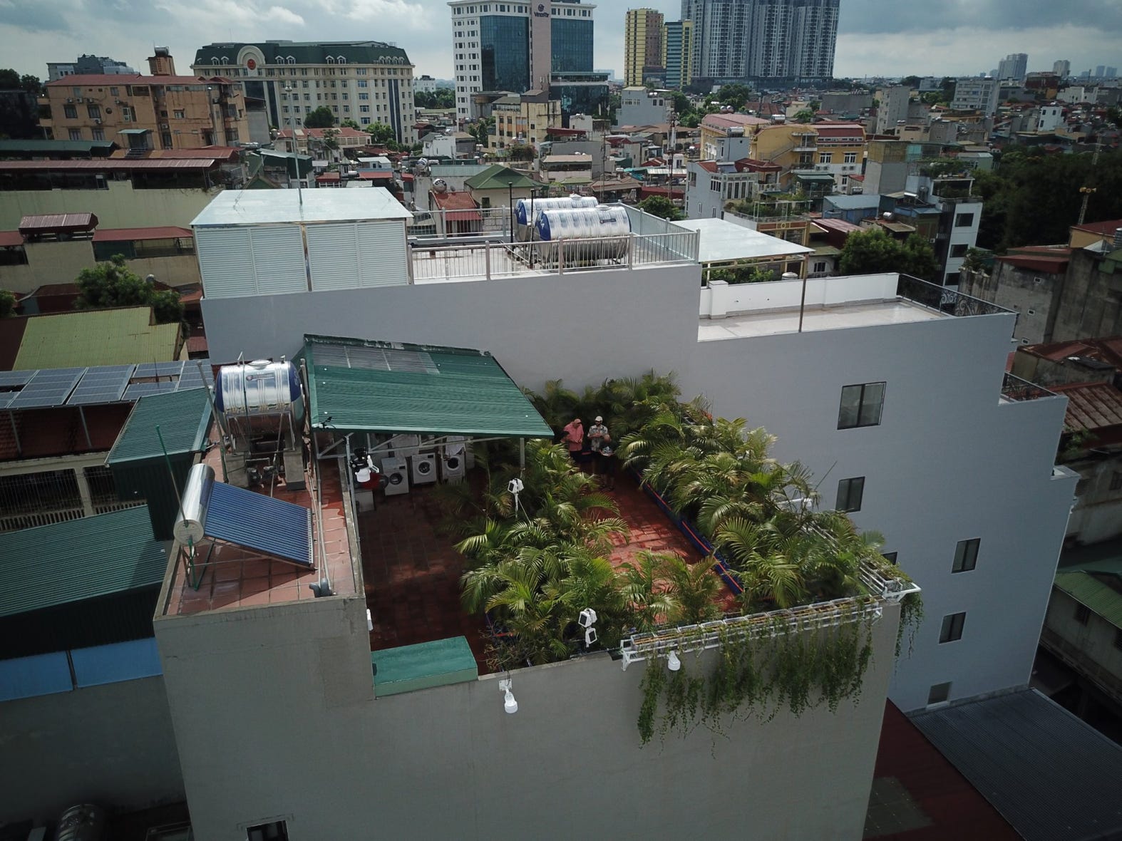
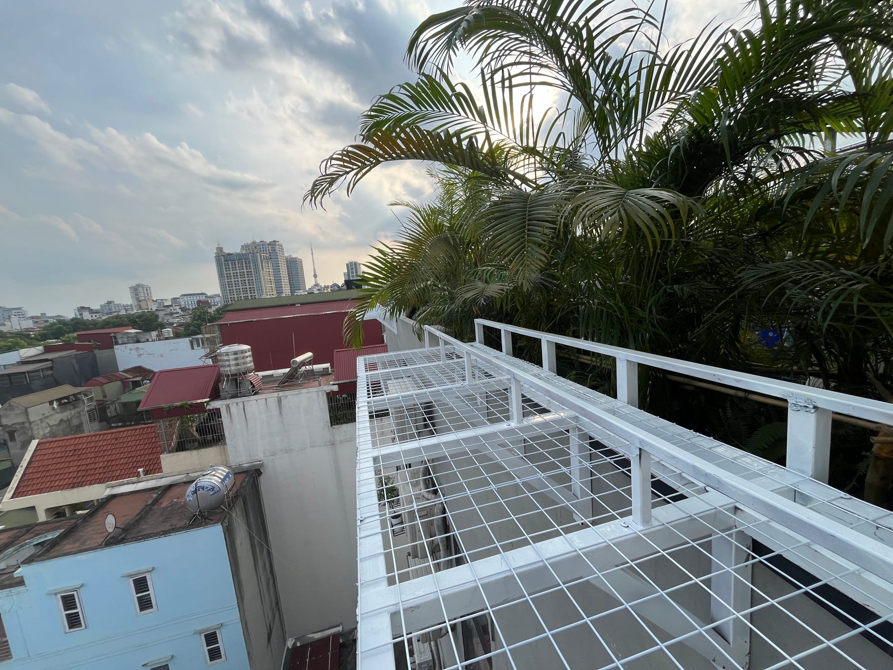
TestBed 02 is tucked away in a back alley in the Hai Ba Trung district, near the old Pho Hue night market. It is an eight-storey residential building with an accessible roof terrace that is being used as an AirBnB. Due to its location, access is only possible on foot or by motorbike. The floor area is 193 m². The gross floor area is 1,280 m² and the gross mass volume of the building is 3,600 m³.
The apartment building was completed in the spring of 2024 and has since been used as an AirBnB hotel. The owner of the building uses the top floor as a private apartment, which means that six floors are available as one and two bedroom apartments.
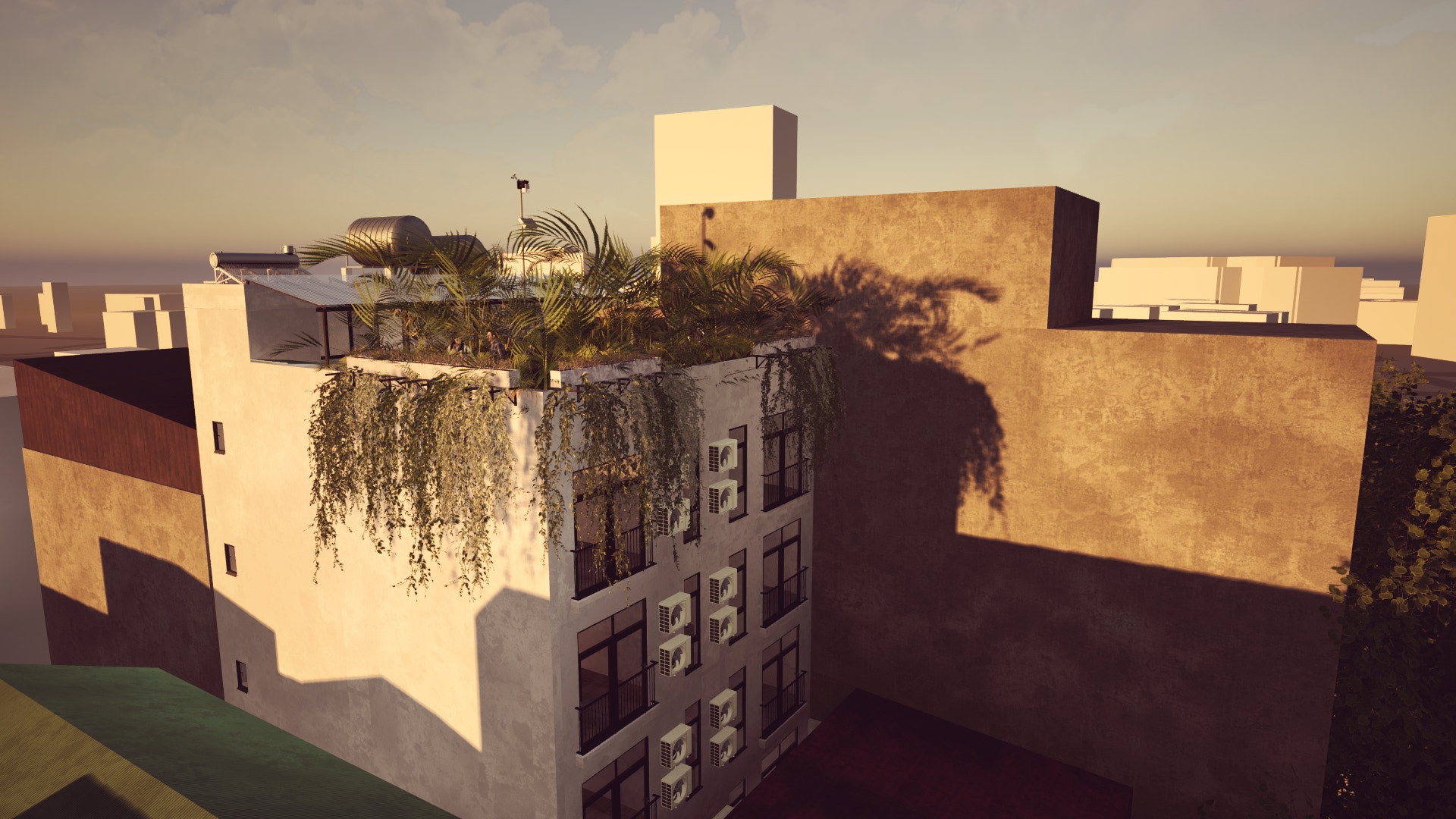
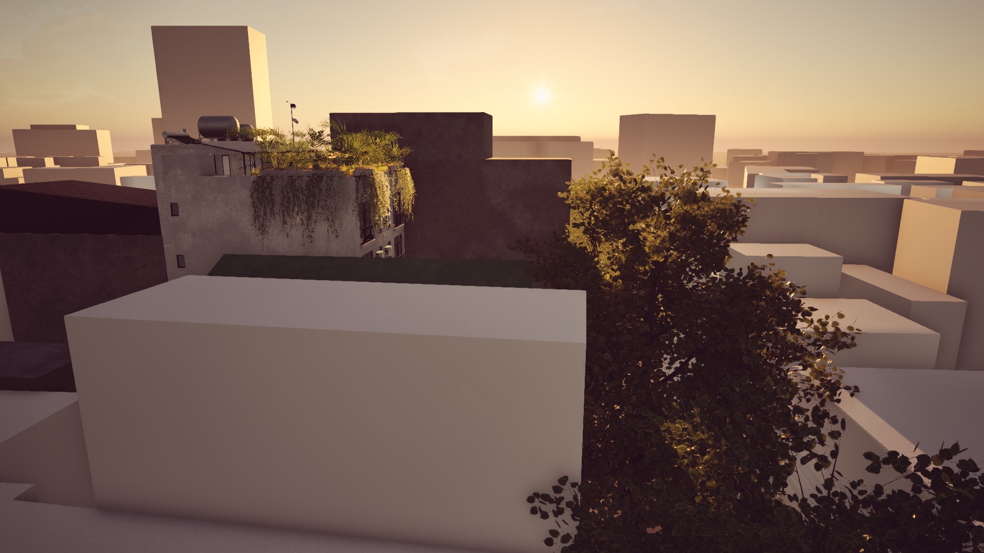
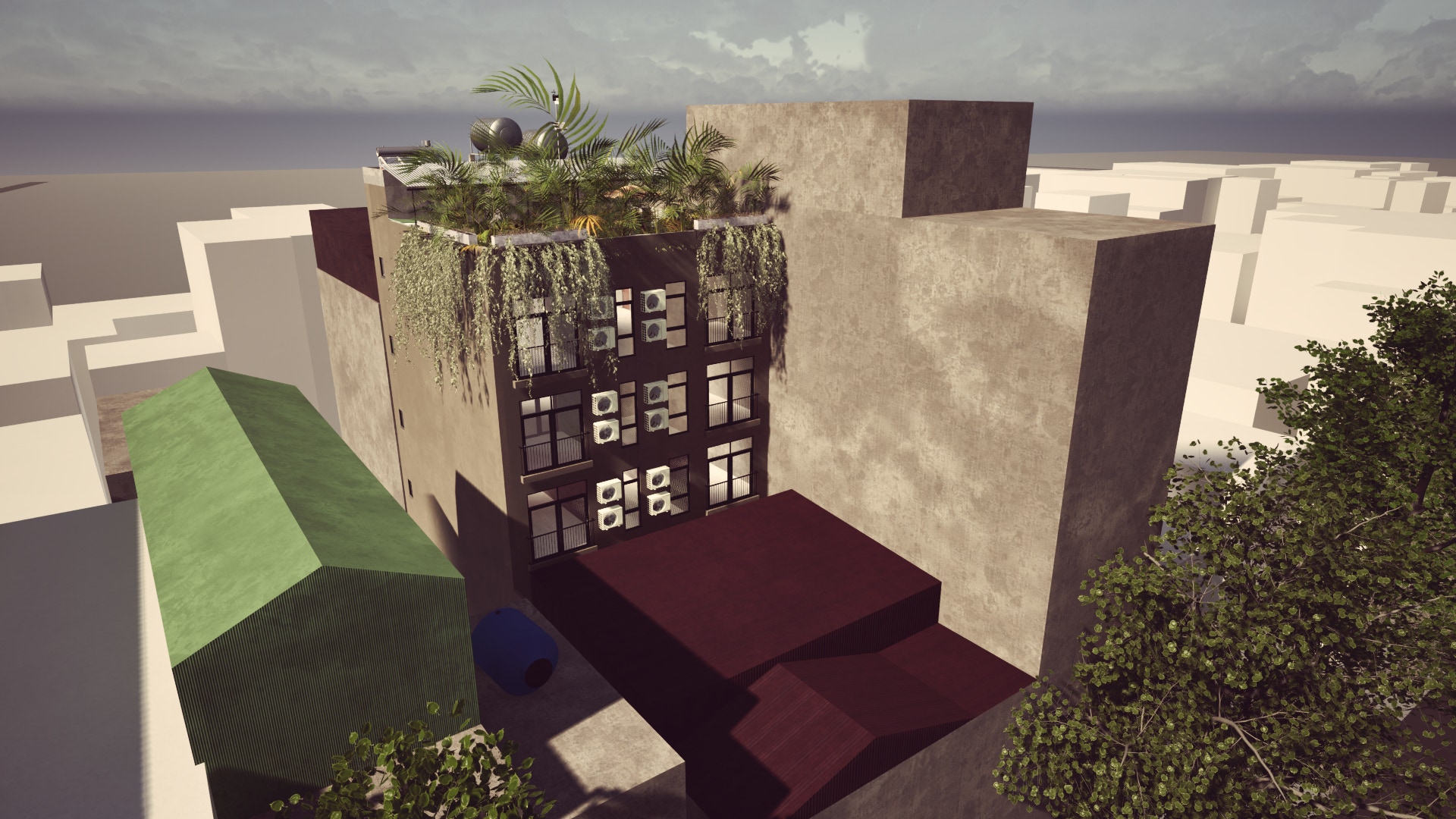
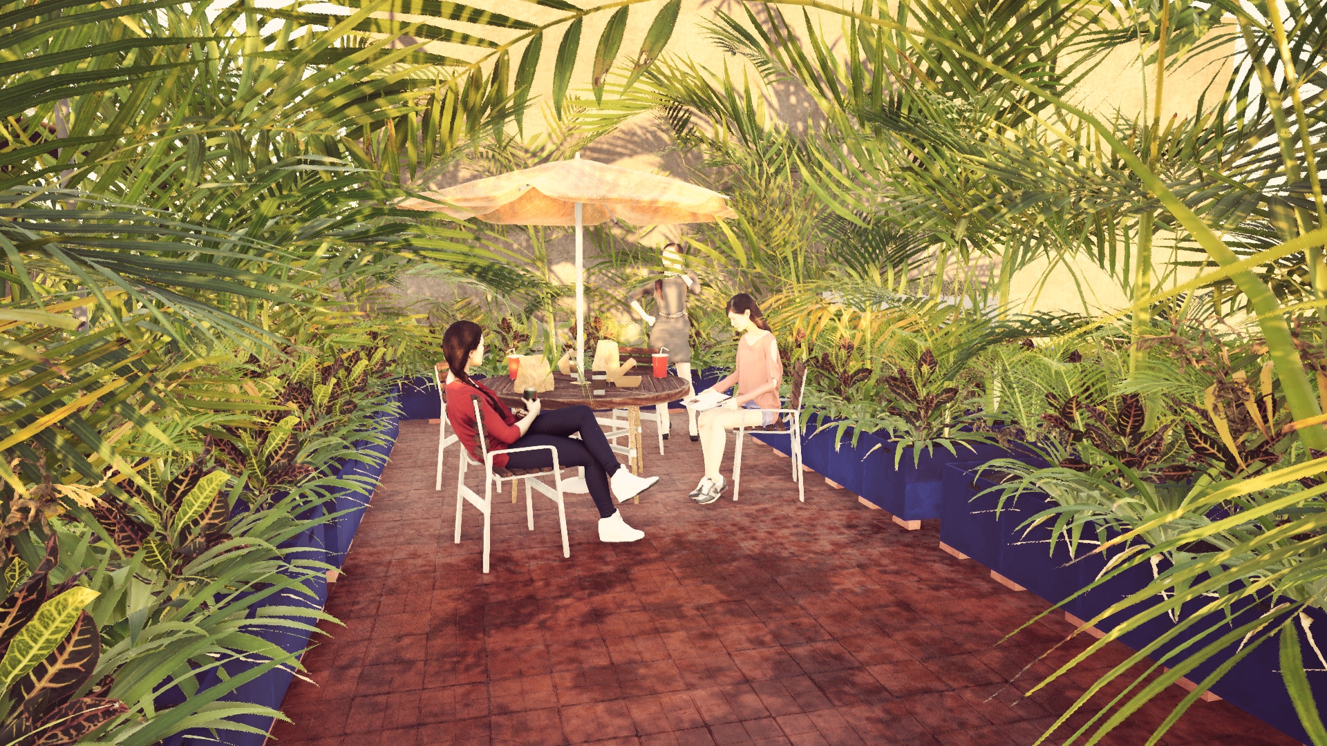
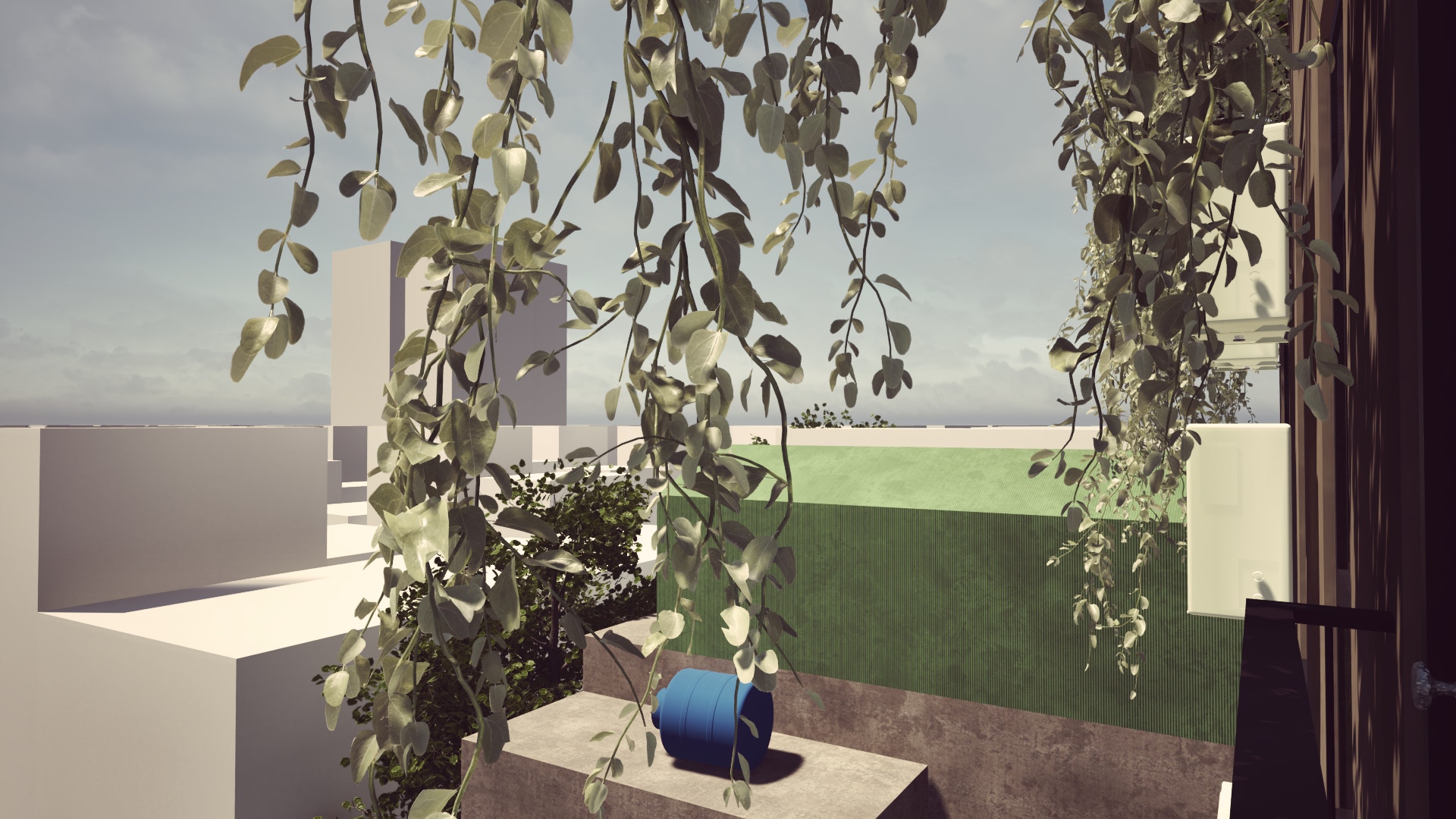
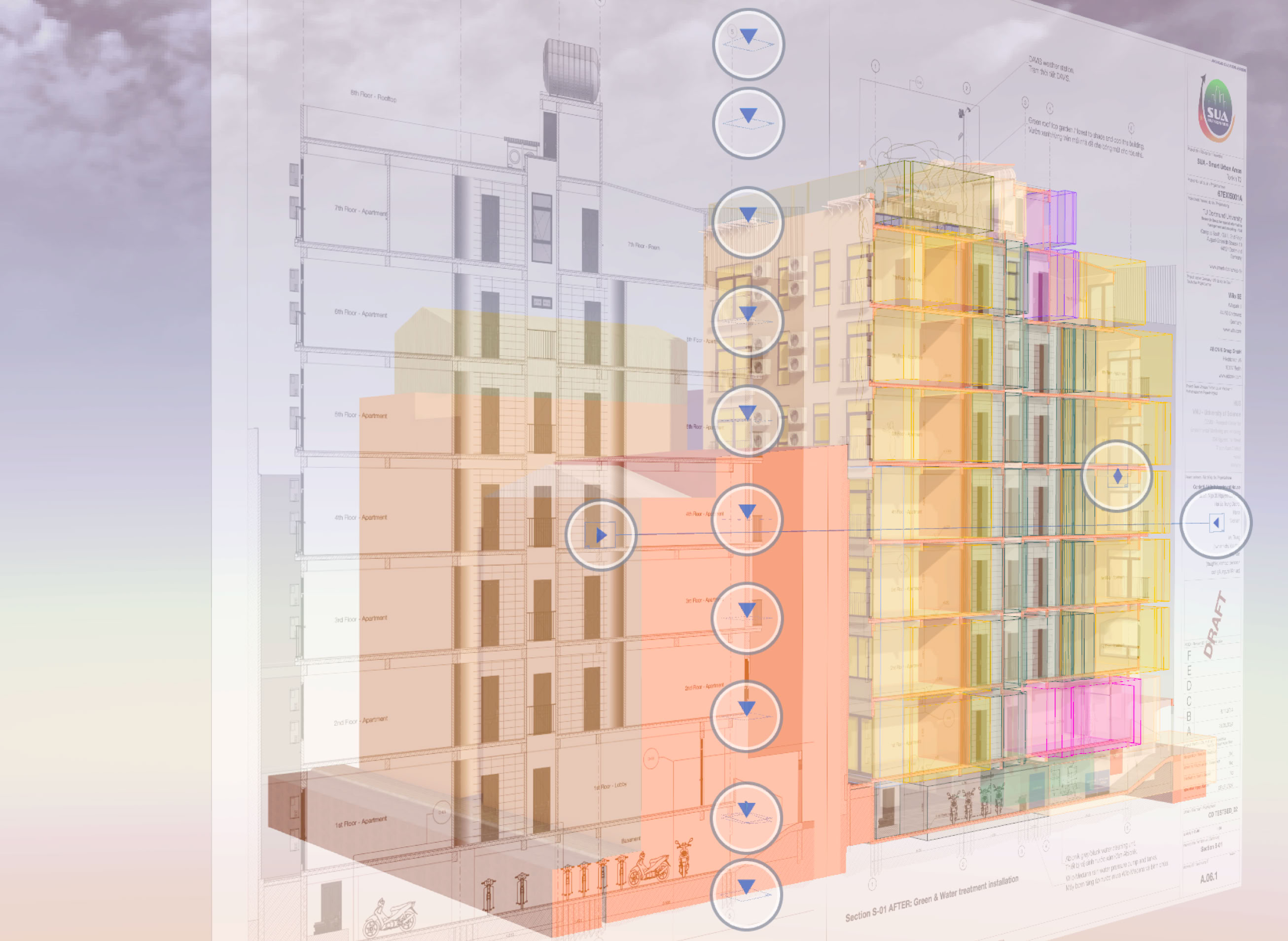
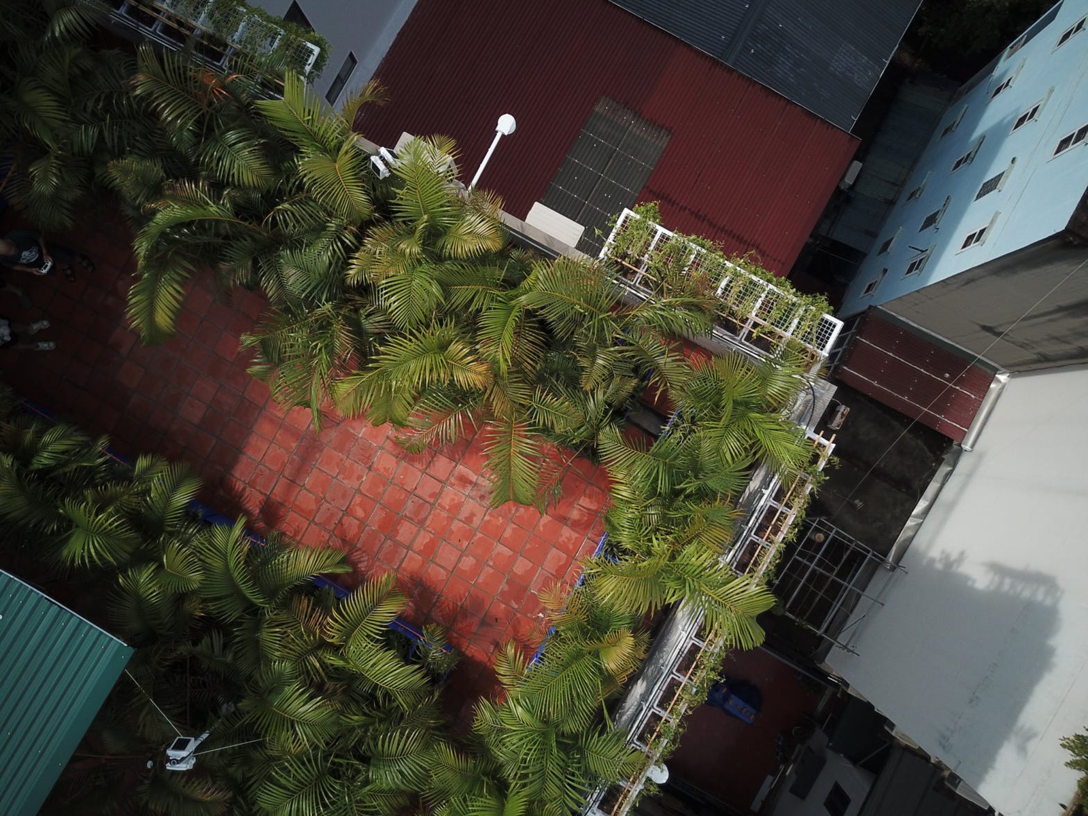
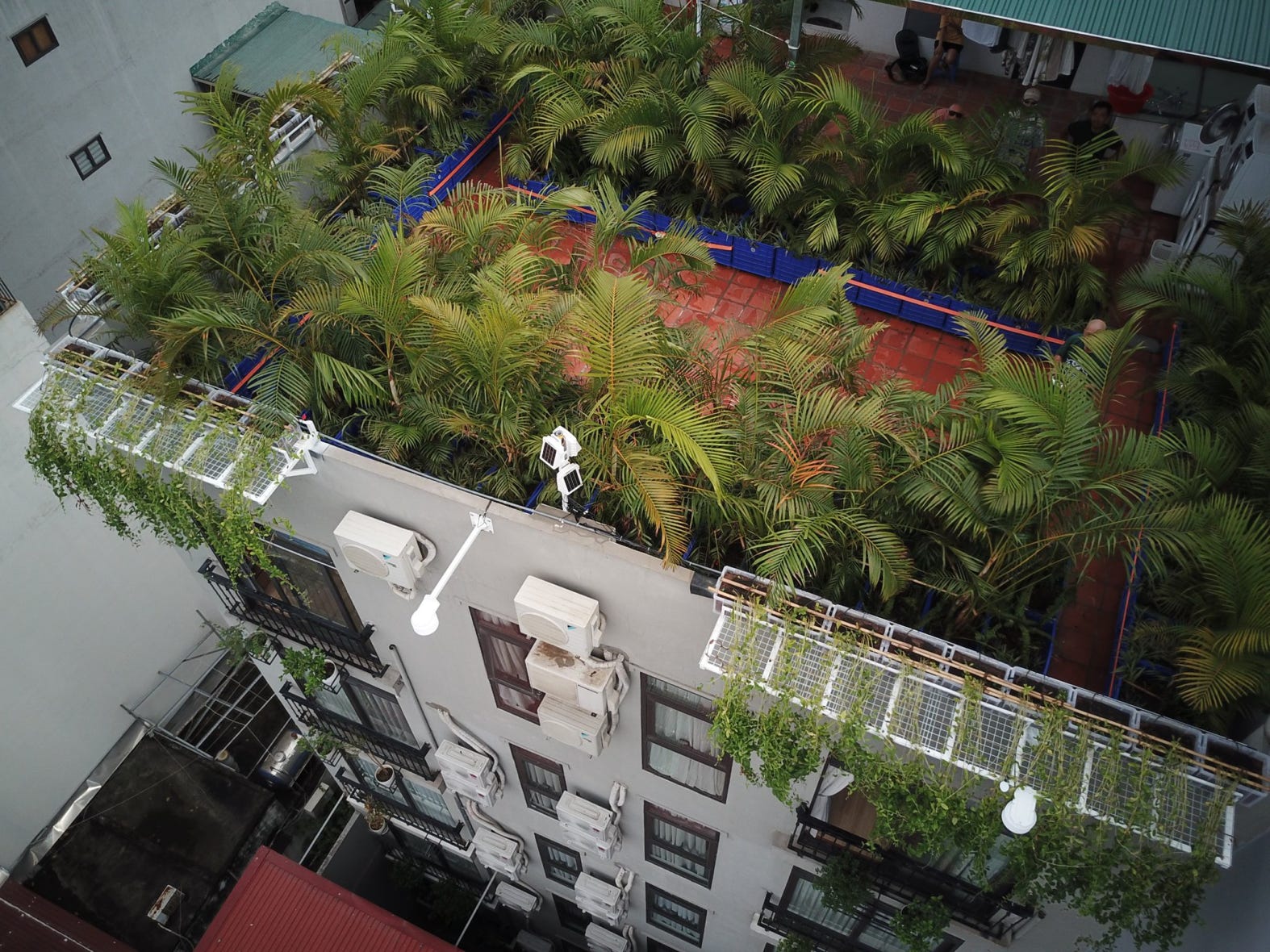
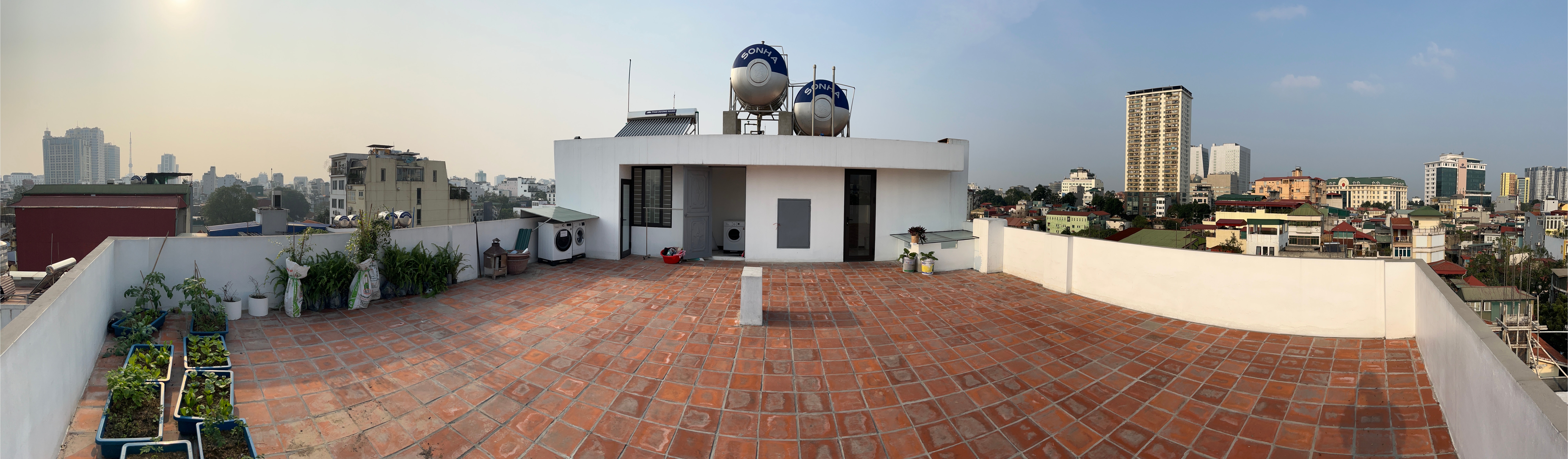
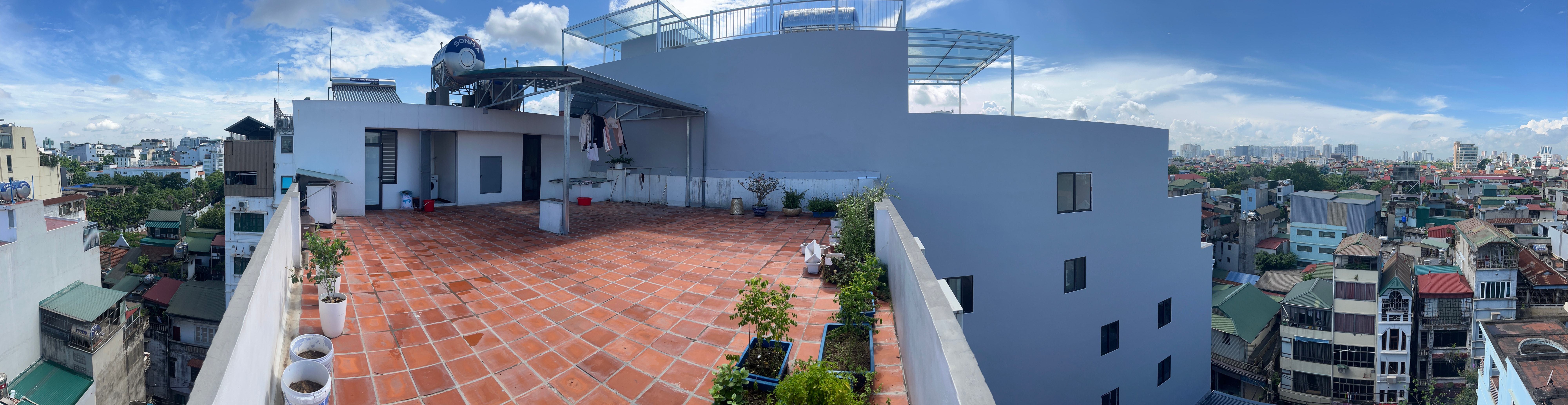
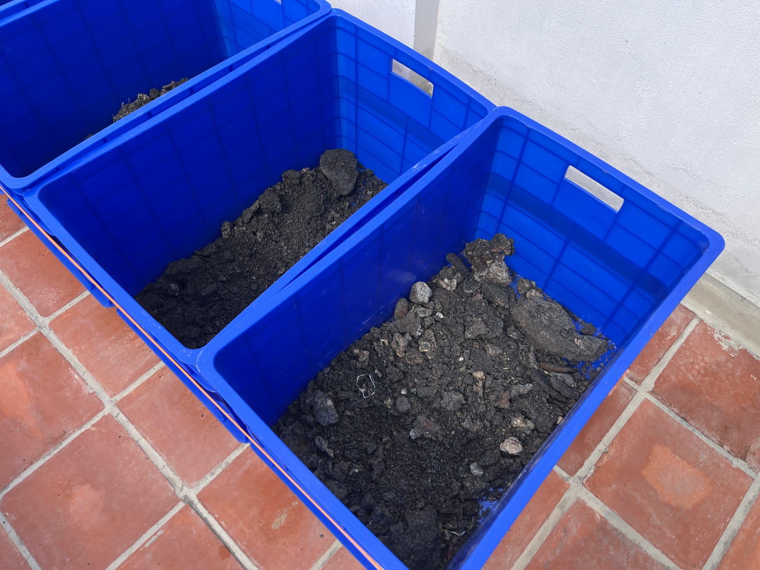
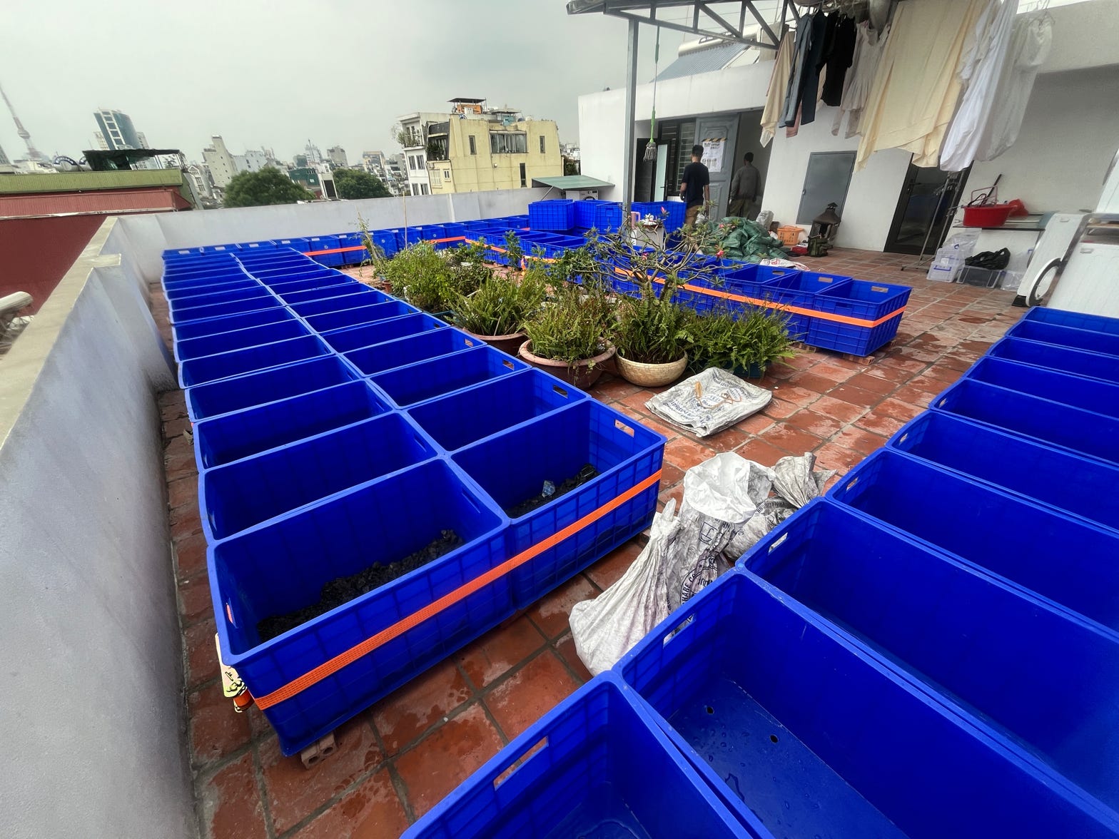
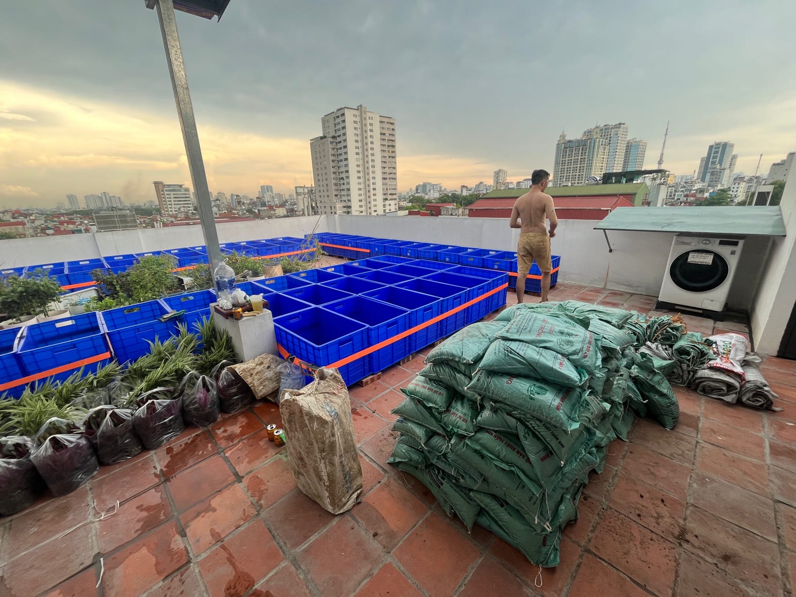
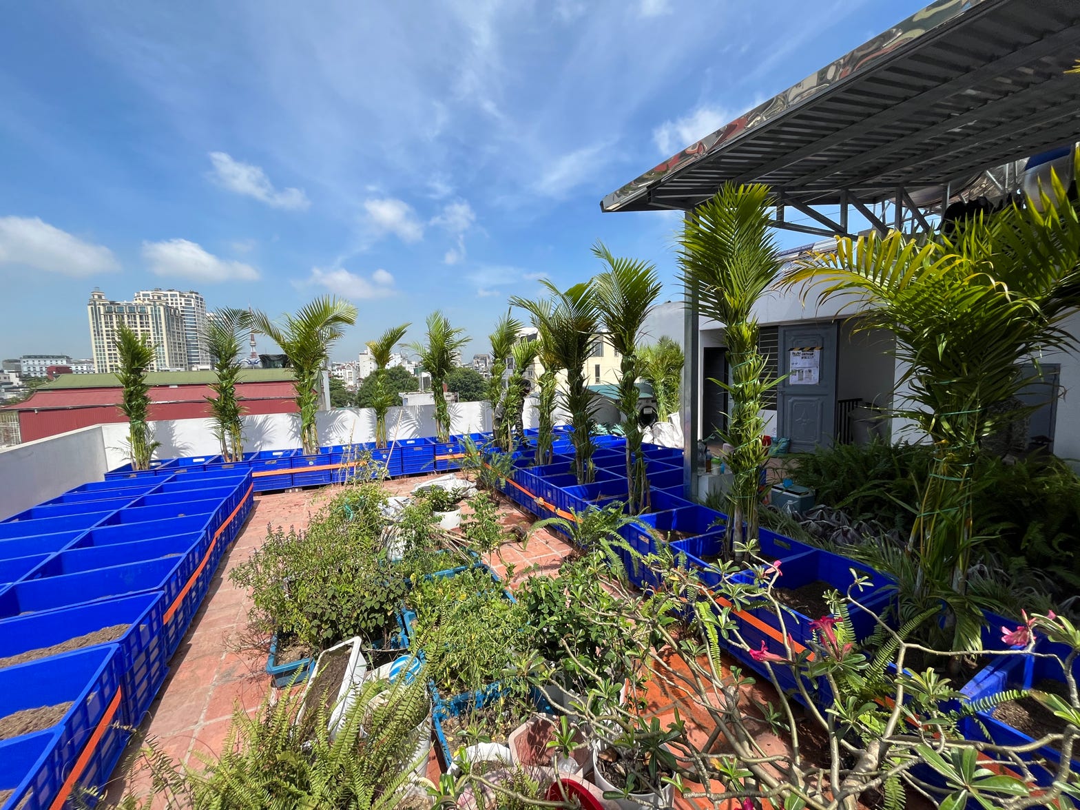
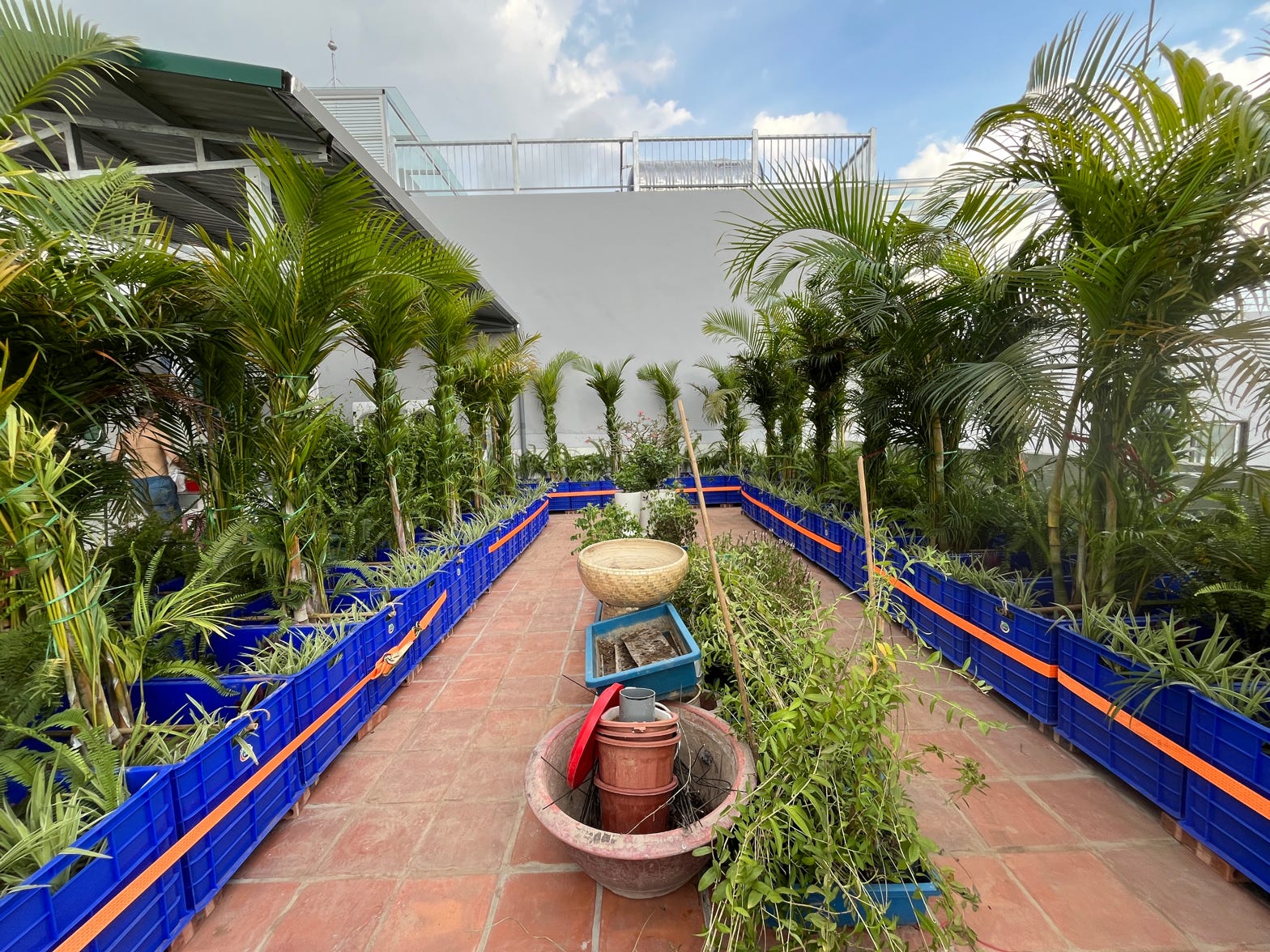
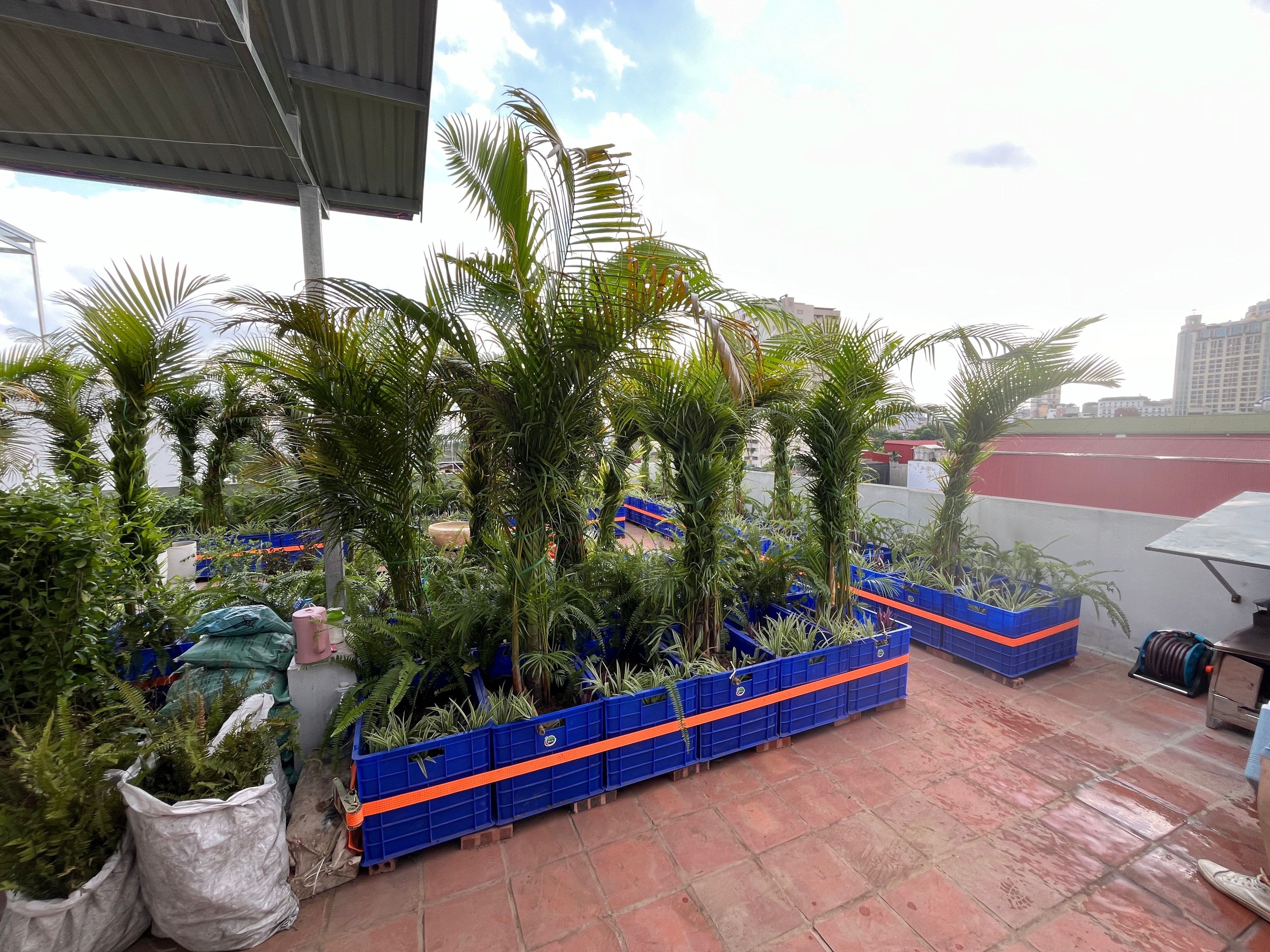
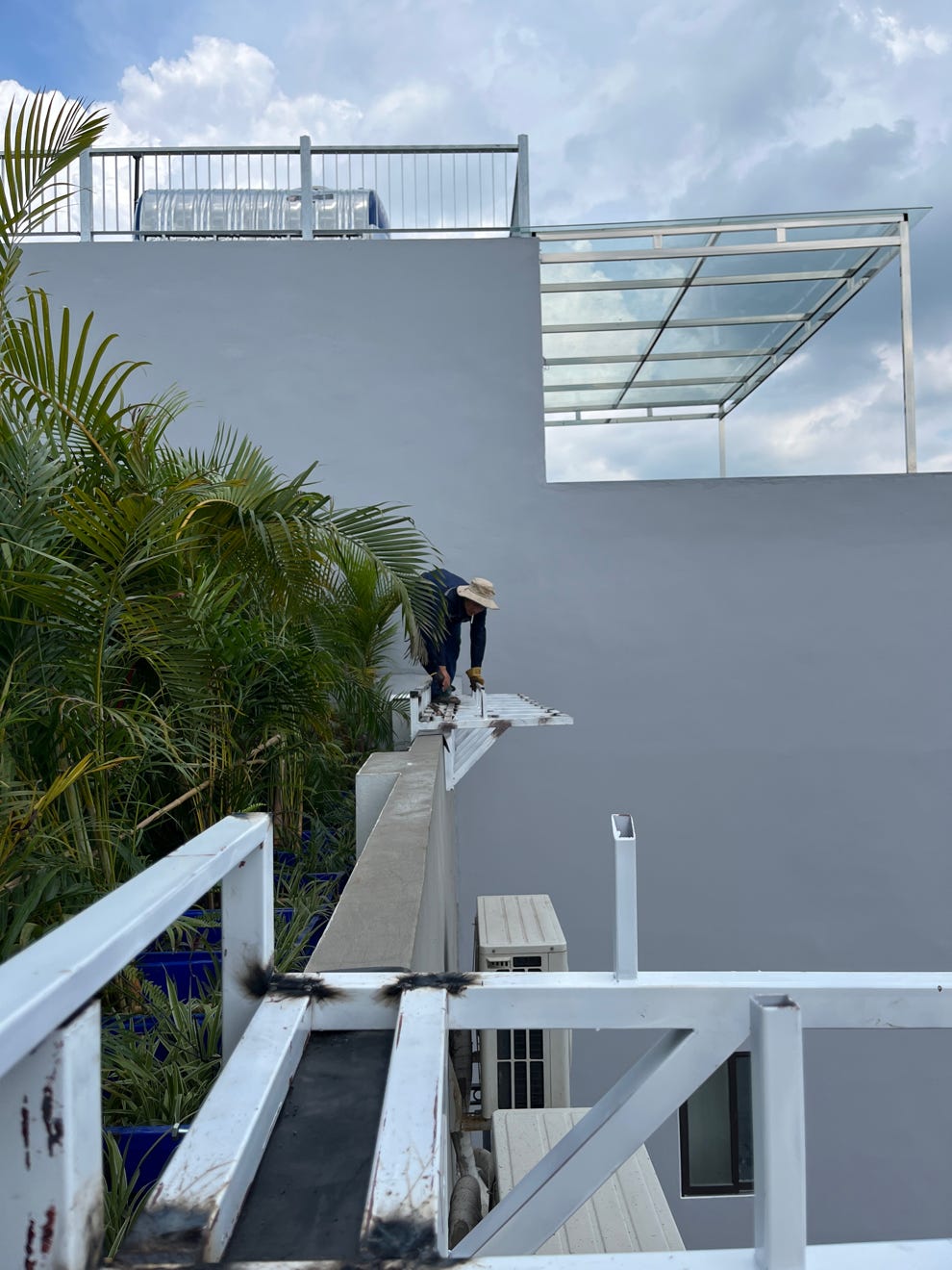
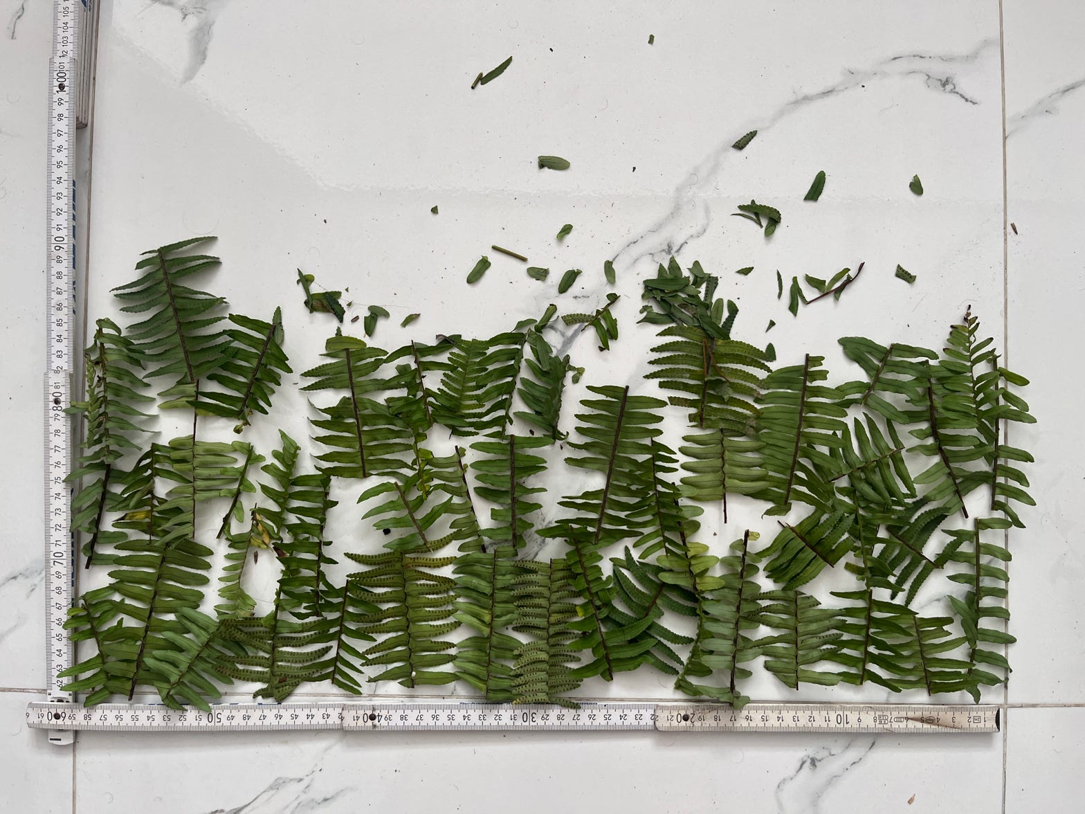
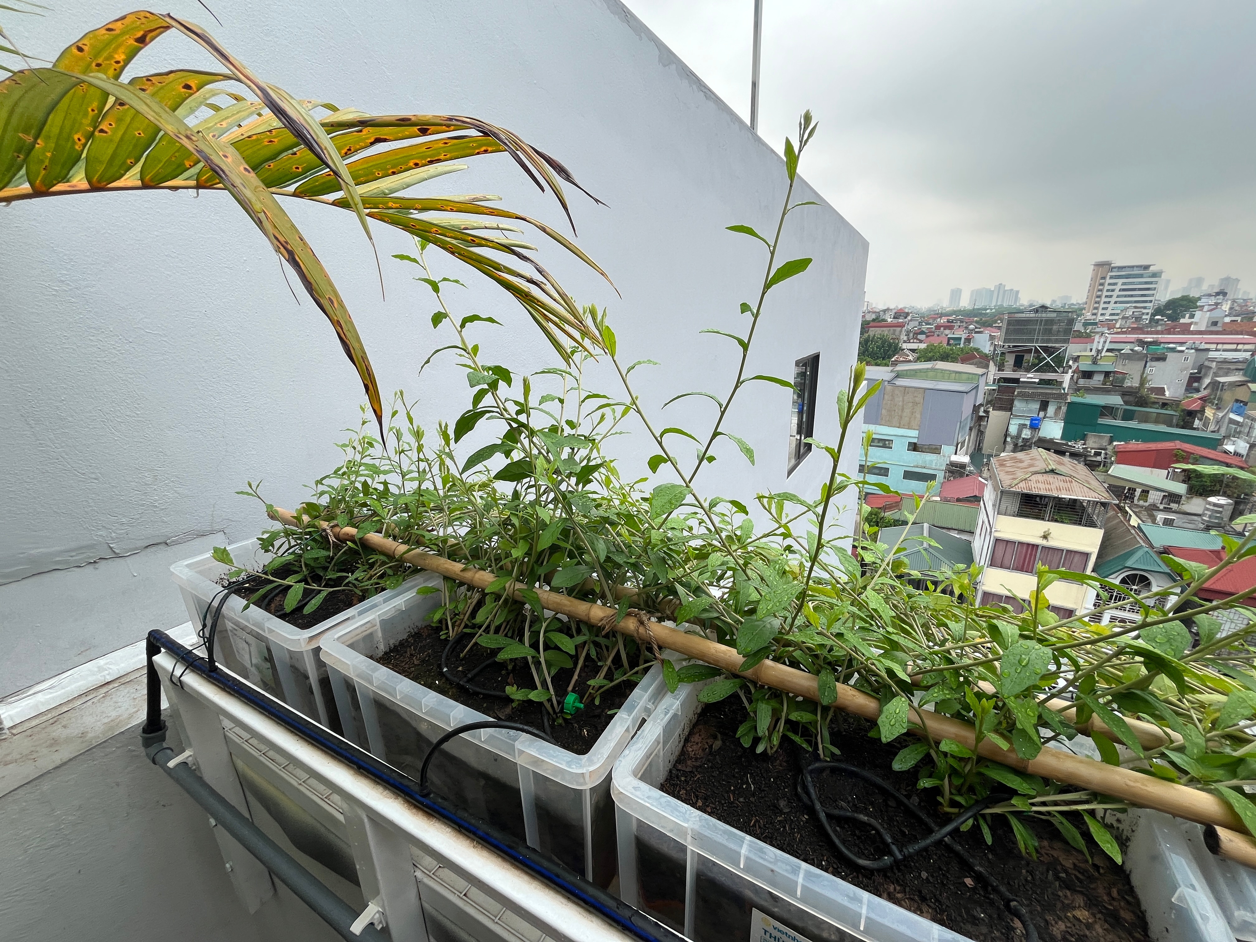
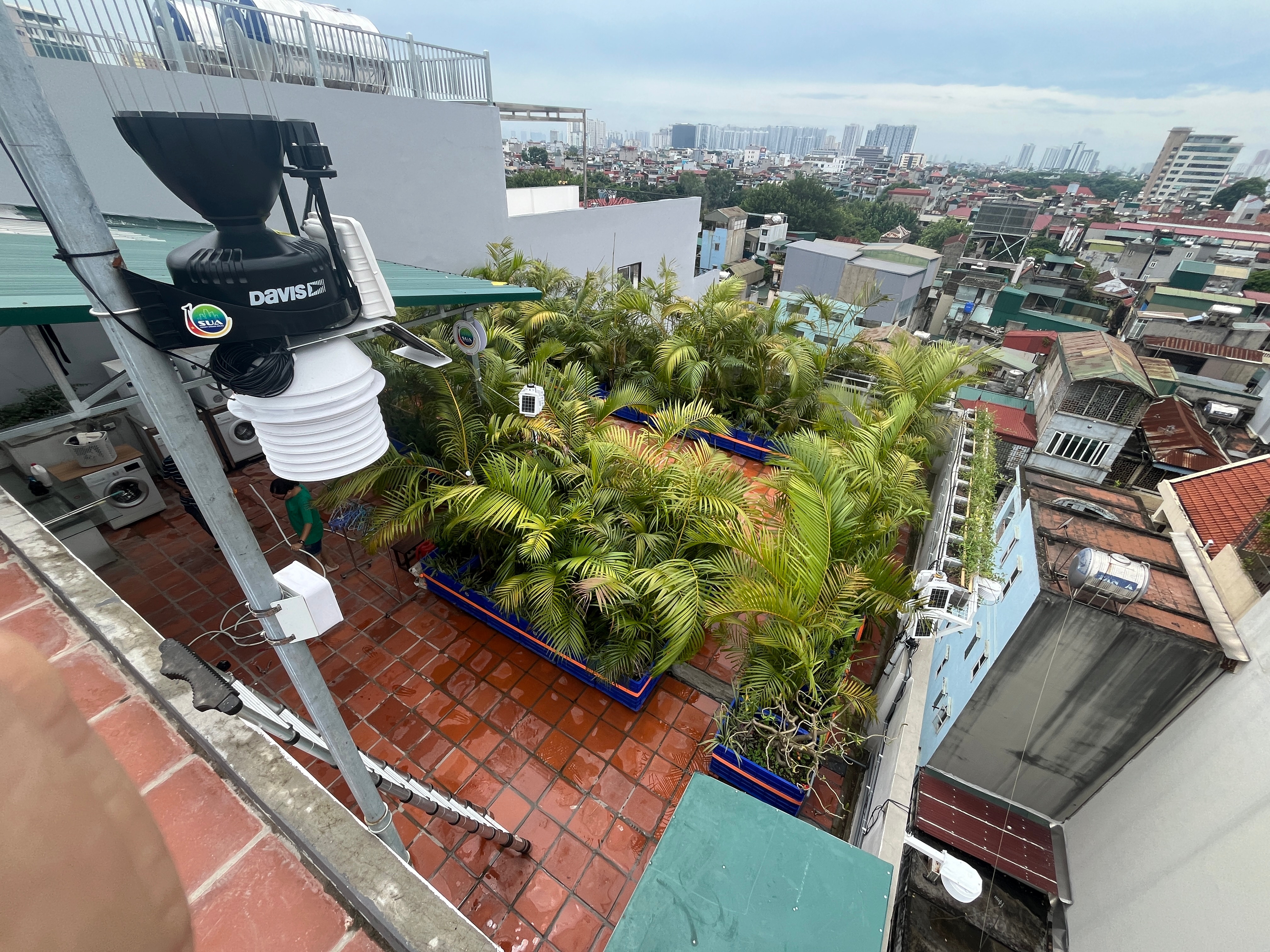
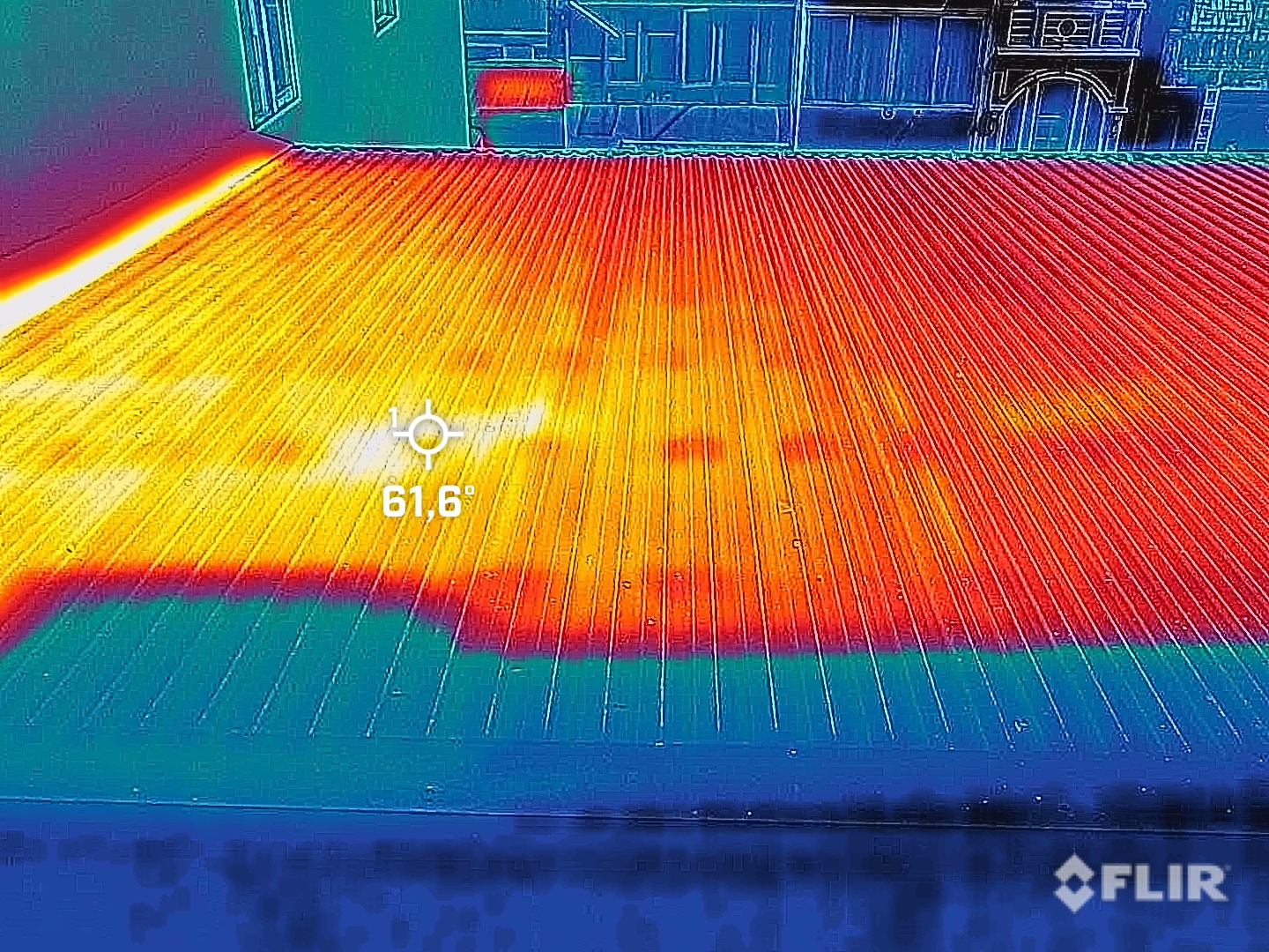
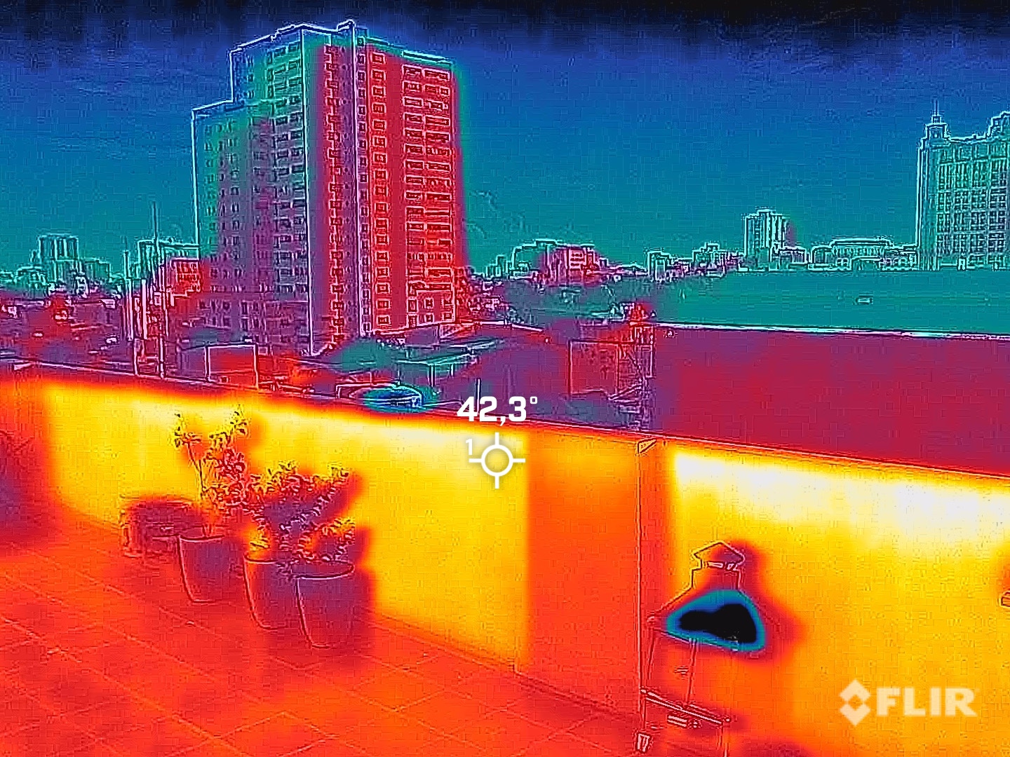
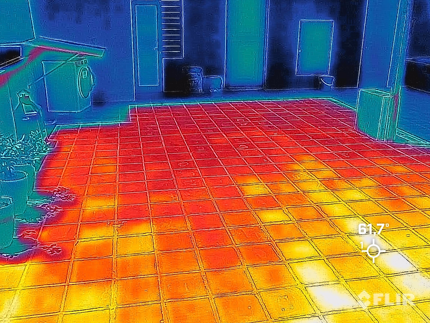
The building was constructed as a reinforced concrete frame work structure with traditionally fired single layer solid bricks and cement render. All windows have non-insulated aluminium frames, anodised in dark grey. The laminated glass pane in the frame is 8.5mm thick. The floor is covered with large white marbled tiles. Hardwood door panels and frames are installed throughout the property. Air conditioning in all bedrooms dries or cools the air. The central water tank for the bathrooms and kitchen is located on the top floor. The roof terrace has a total area of 103.0 m² and is covered with 30 x 30 cm terracotta tiles. Technical rooms for washing machines and tumble dryers are accessible from the roof terrace.
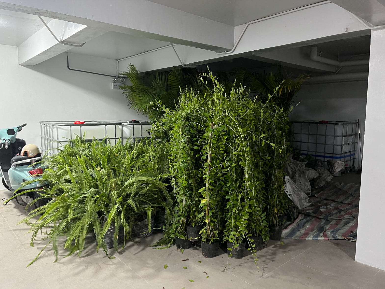
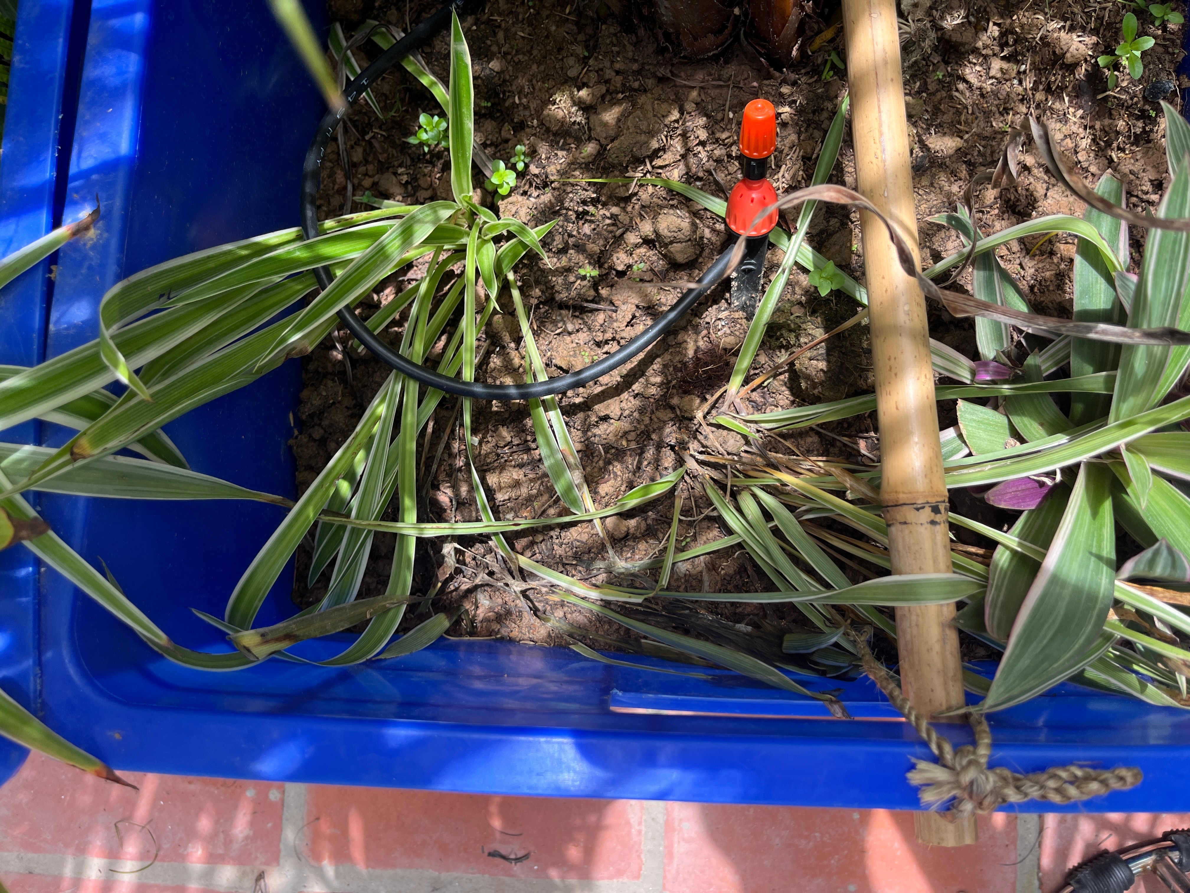
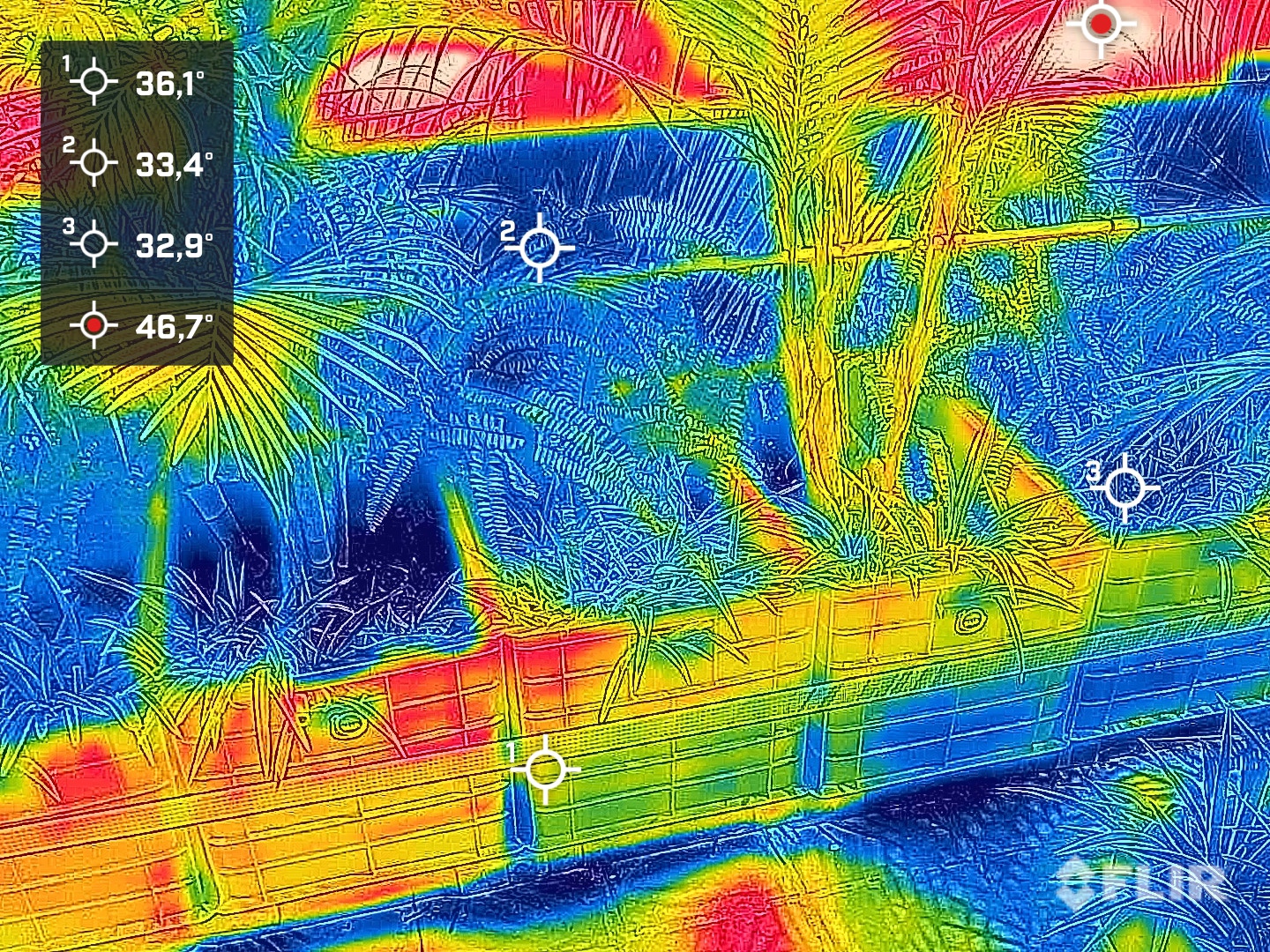
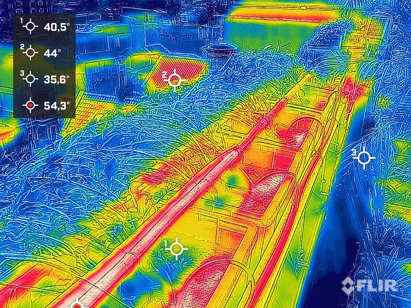
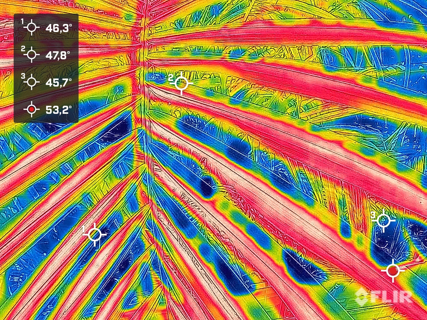
TestBed 02 is an L-shaped building with a north-south orientation, with most of the rooms facing south and only a few facing north, where the building is quite narrow. The building is entered and driven into from the north. Neighbouring buildings are to the north, east and south. The neighbouring buildings to the west have two storeys and are slightly lower due to the slight slope, so that the west side of TestBed 02 is exposed to the sun. TestBed 02 is equipped with a 1.50 m deep light and air shaft on the lower floors on the south side. The façade greenery, which we installed at a distance of a = 0.80 m from the outer wall, hangs in the centre of this shaft on the upper floors. The south building conceals the shaft up to the fifth floor. Daylight is available down to the ground floor.
Thanks to the excellent data available, TestBed 02 was created as a 3D model using BIM software. Structural changes were synchronised and incorporated with control measurements on site. This digital shadow of the building helps to simulate the landscaping and the process water filtration system. An augmented reality (AR) model can be linked to the climate data and is currently being revised. The virtual reality (VR) model, on the other hand, provides realistic simulations that could be verified on site by a drone flight. Both models support on-site communication with partners, contractors and operators.
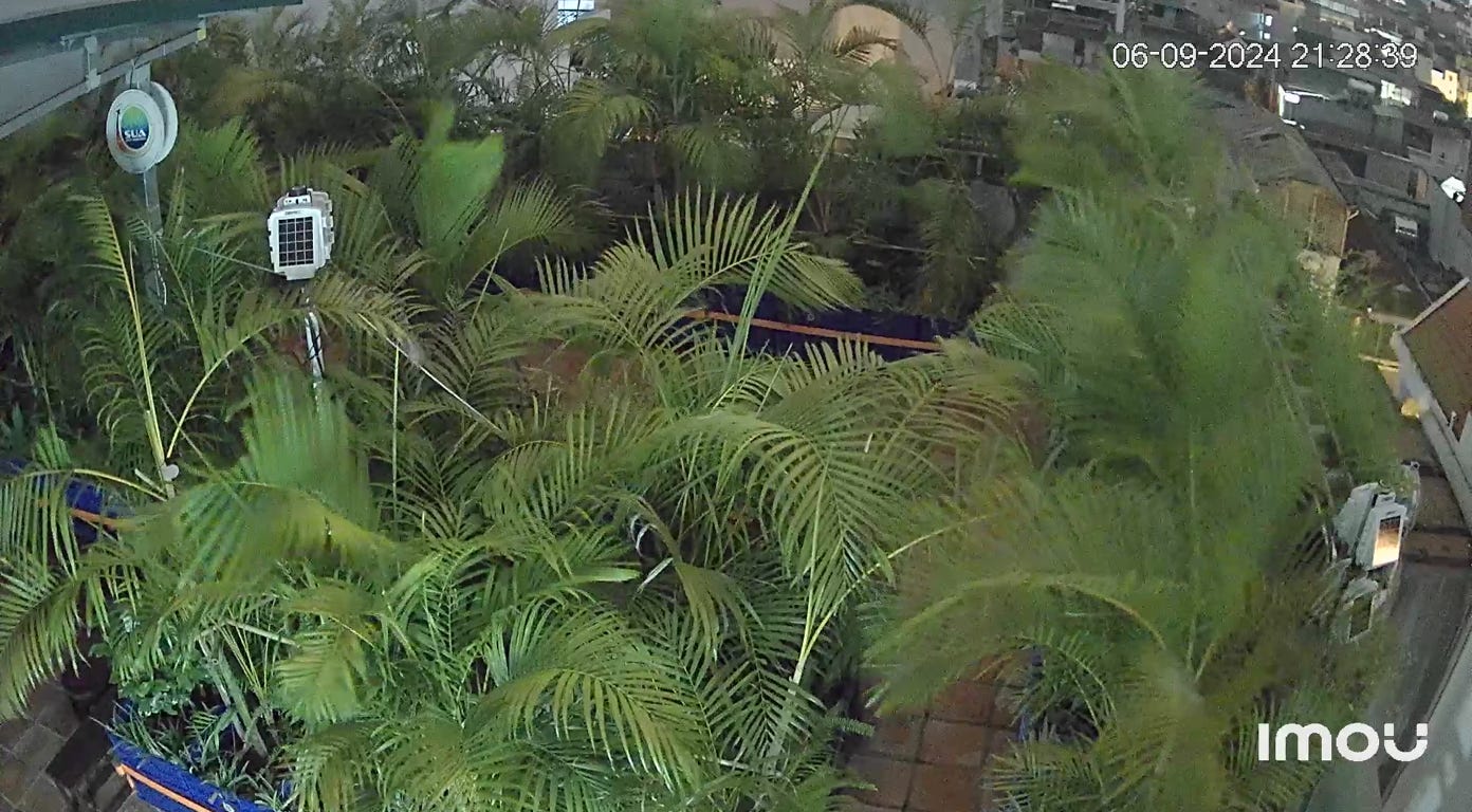
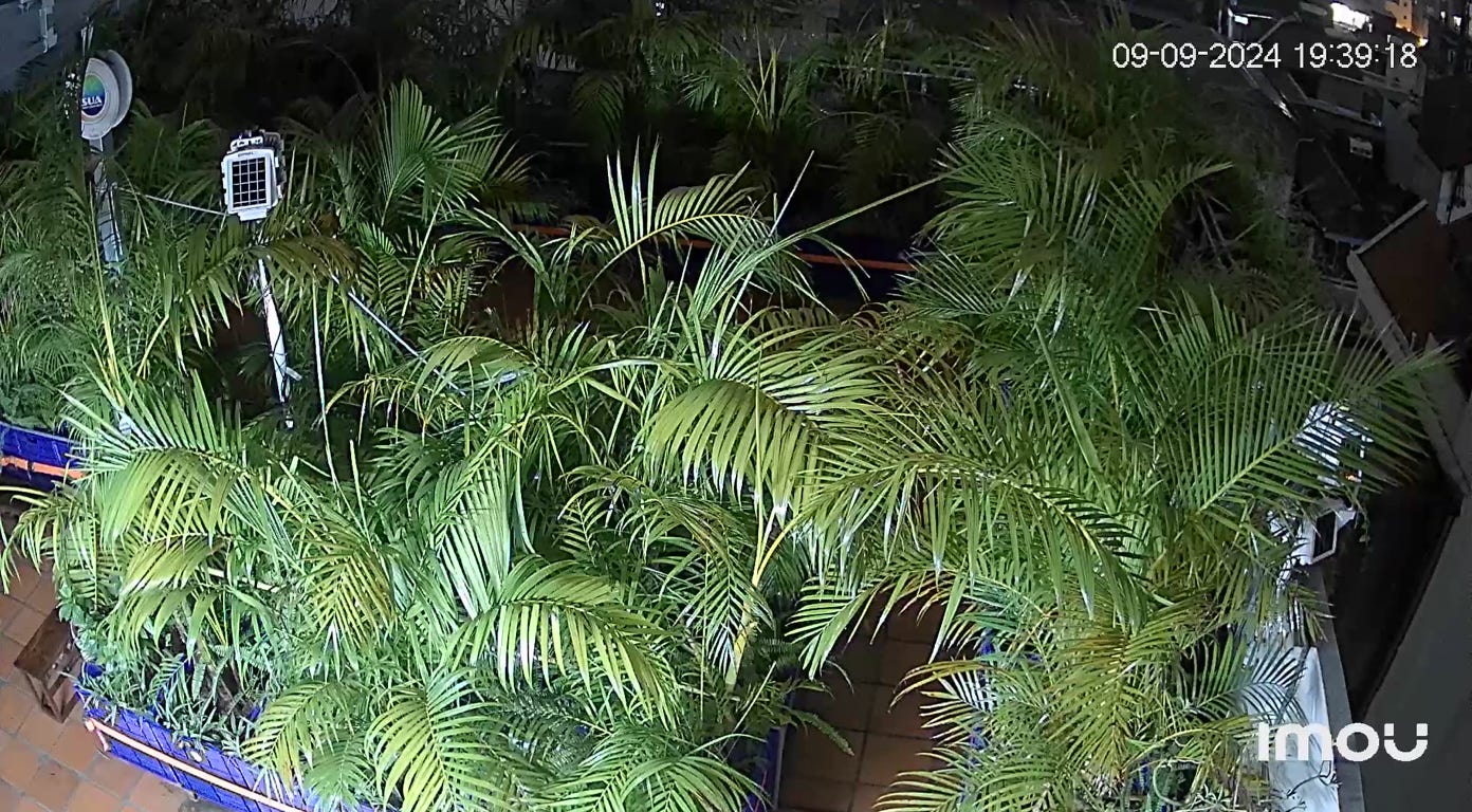
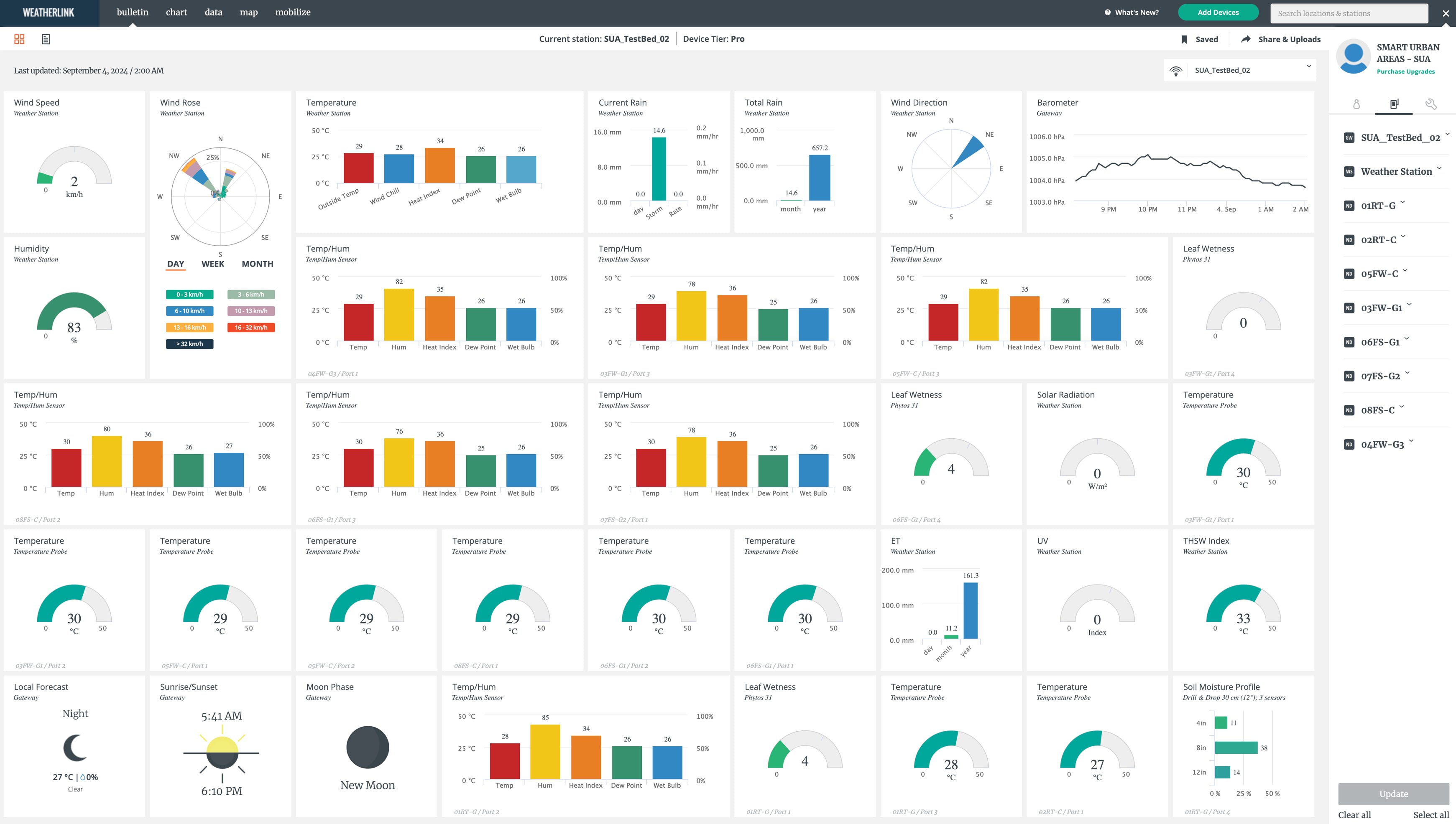
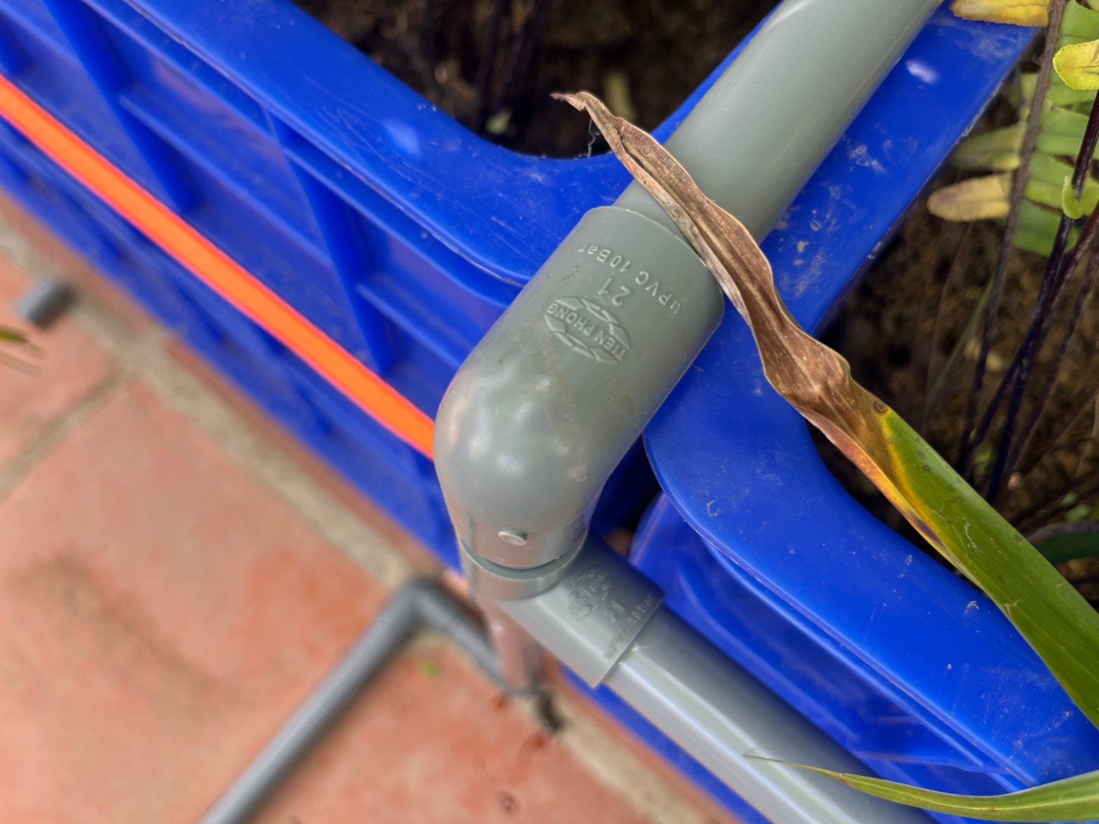
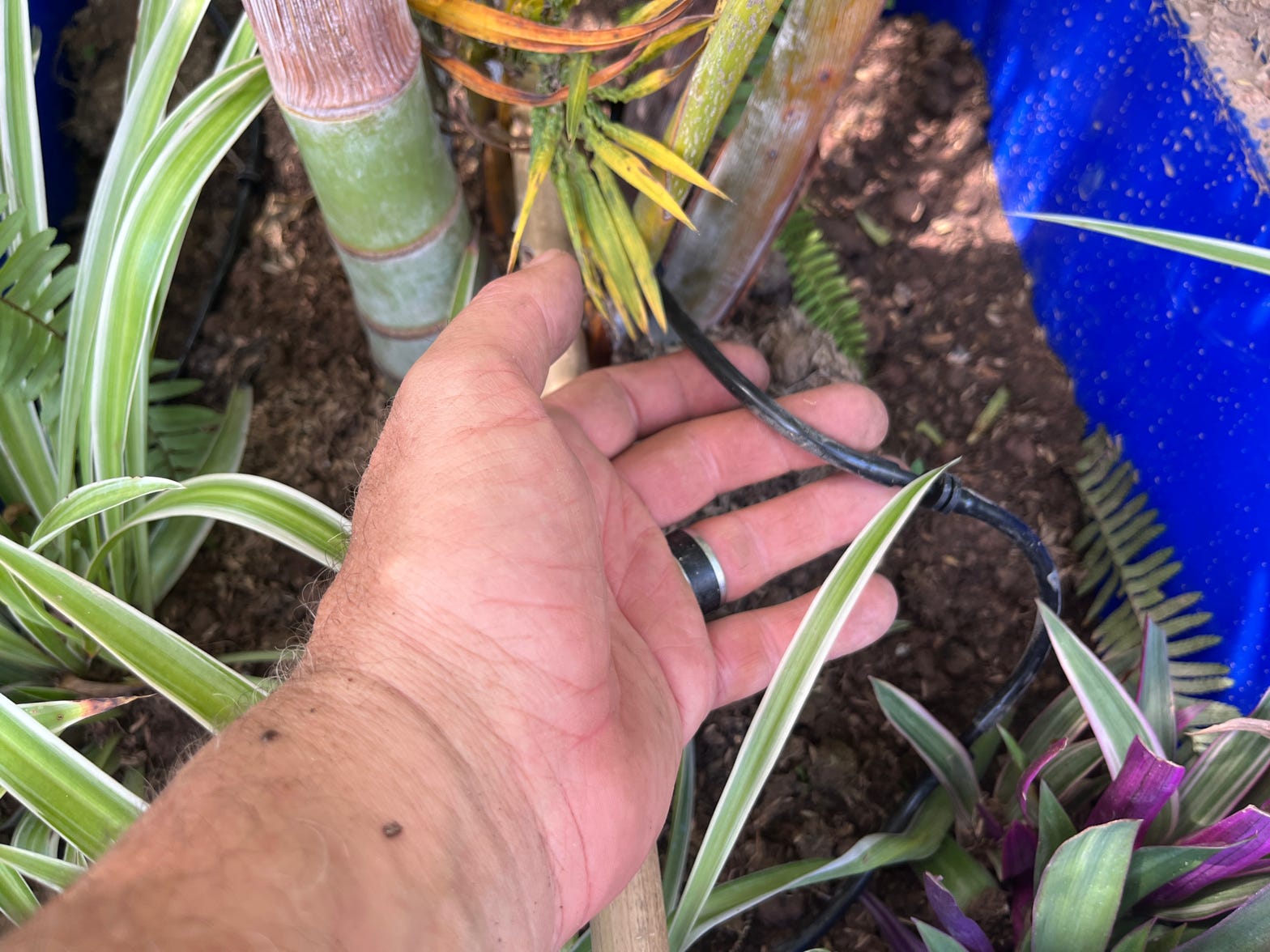
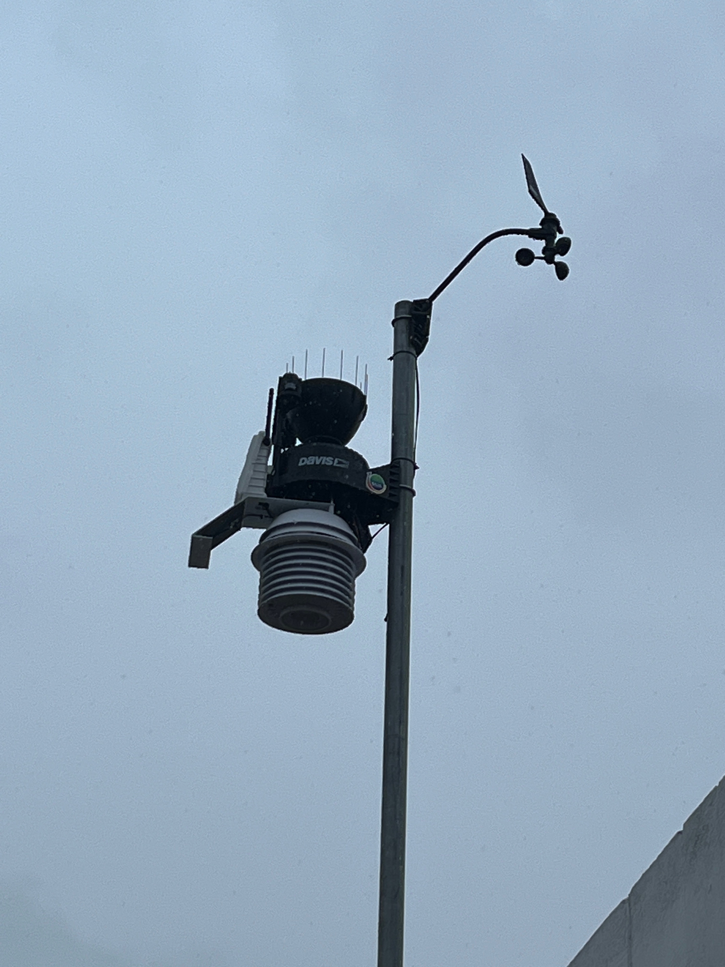
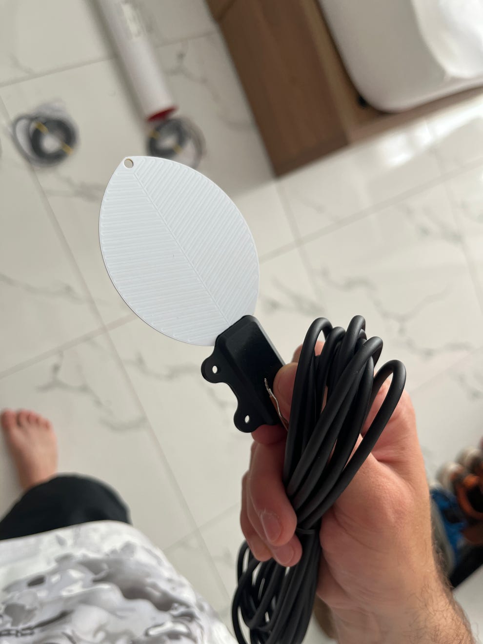
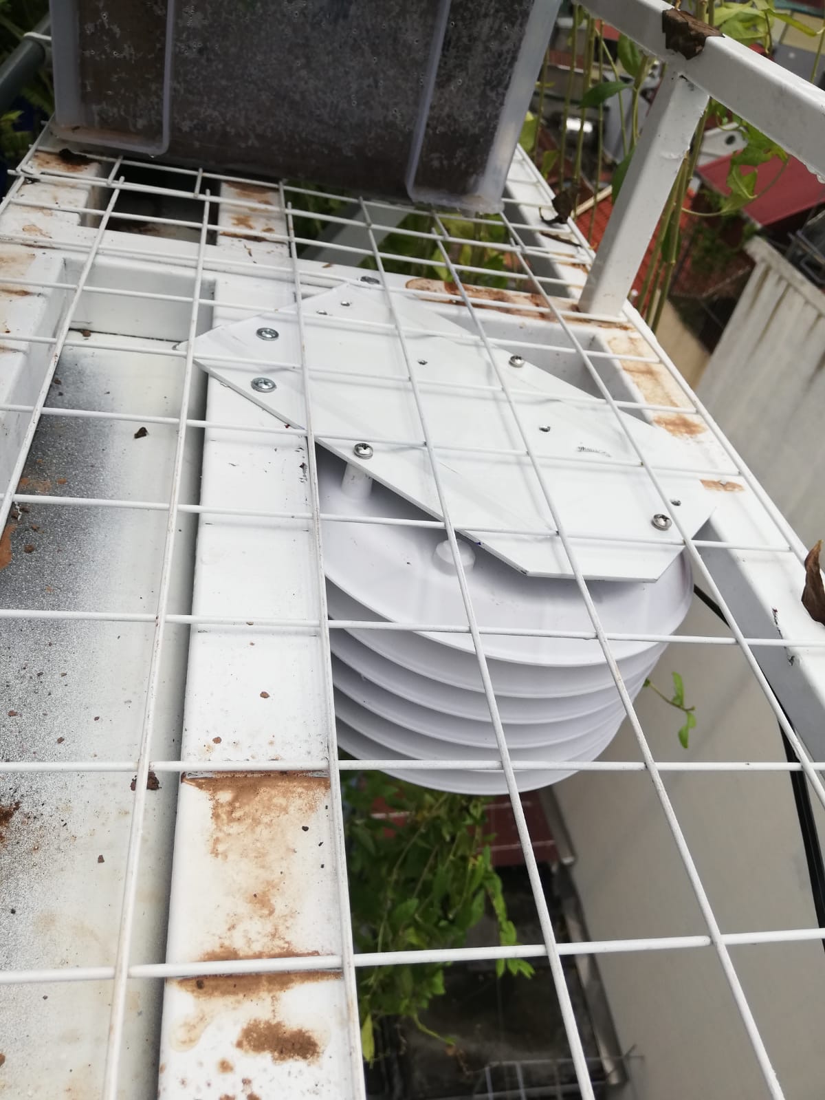
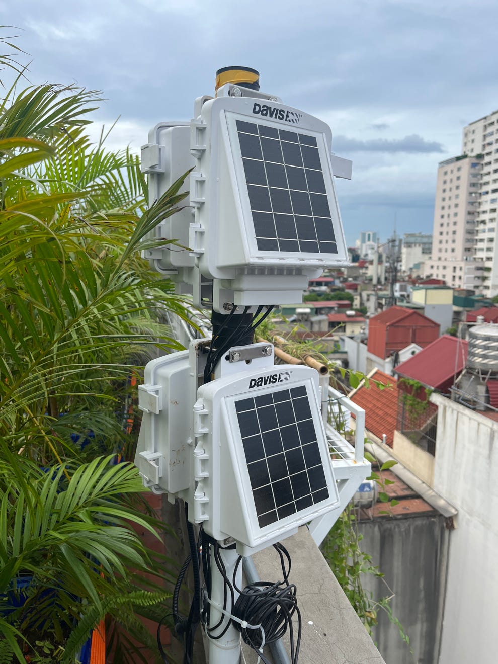
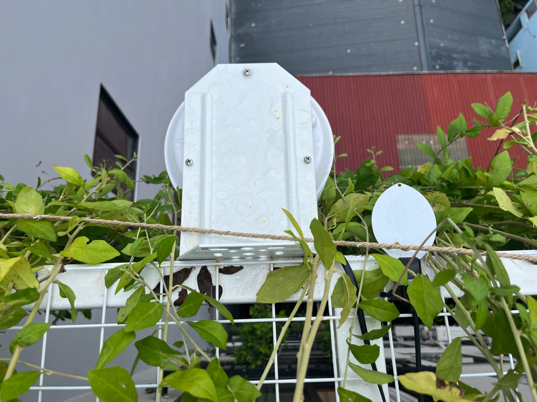
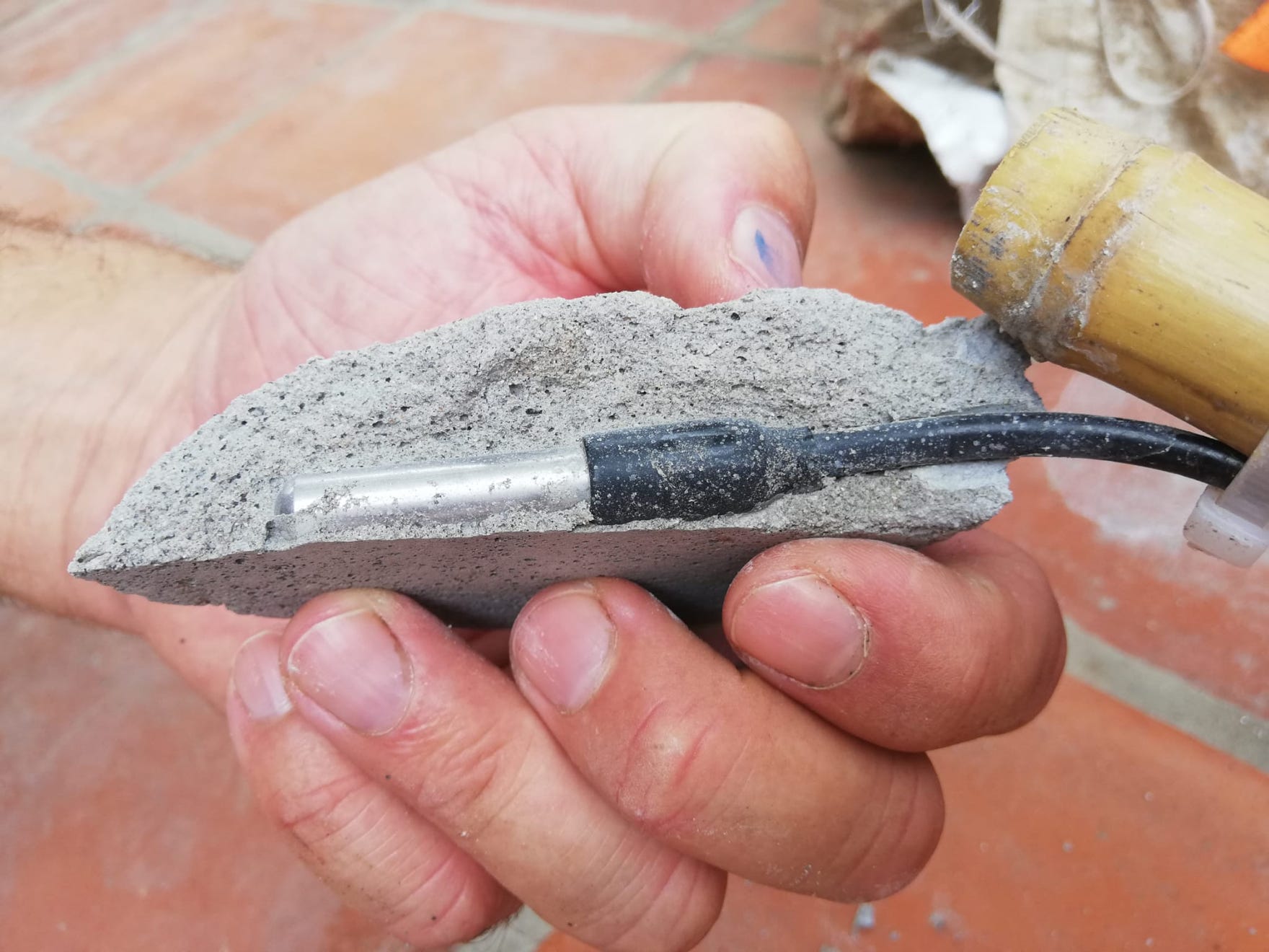
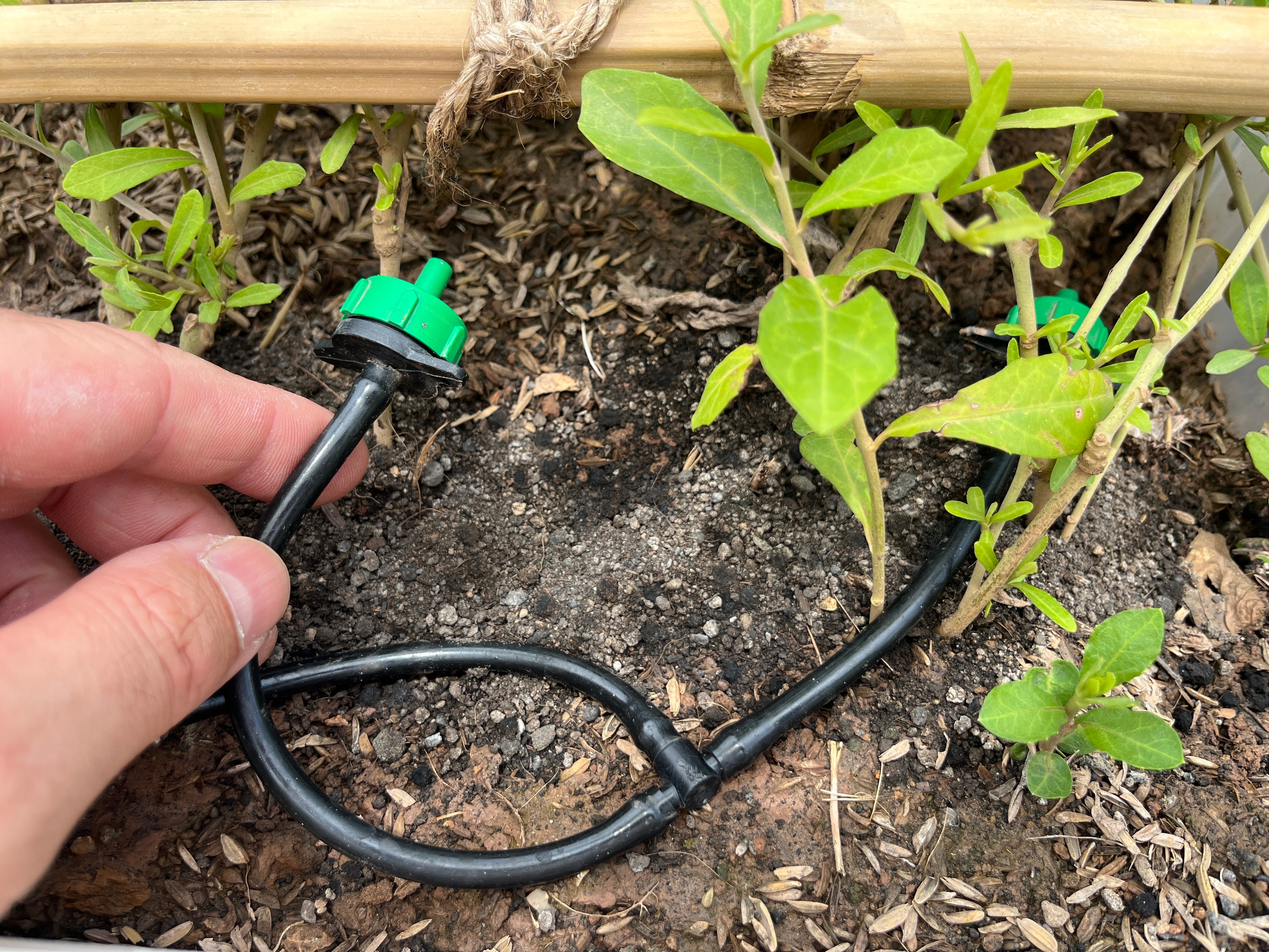
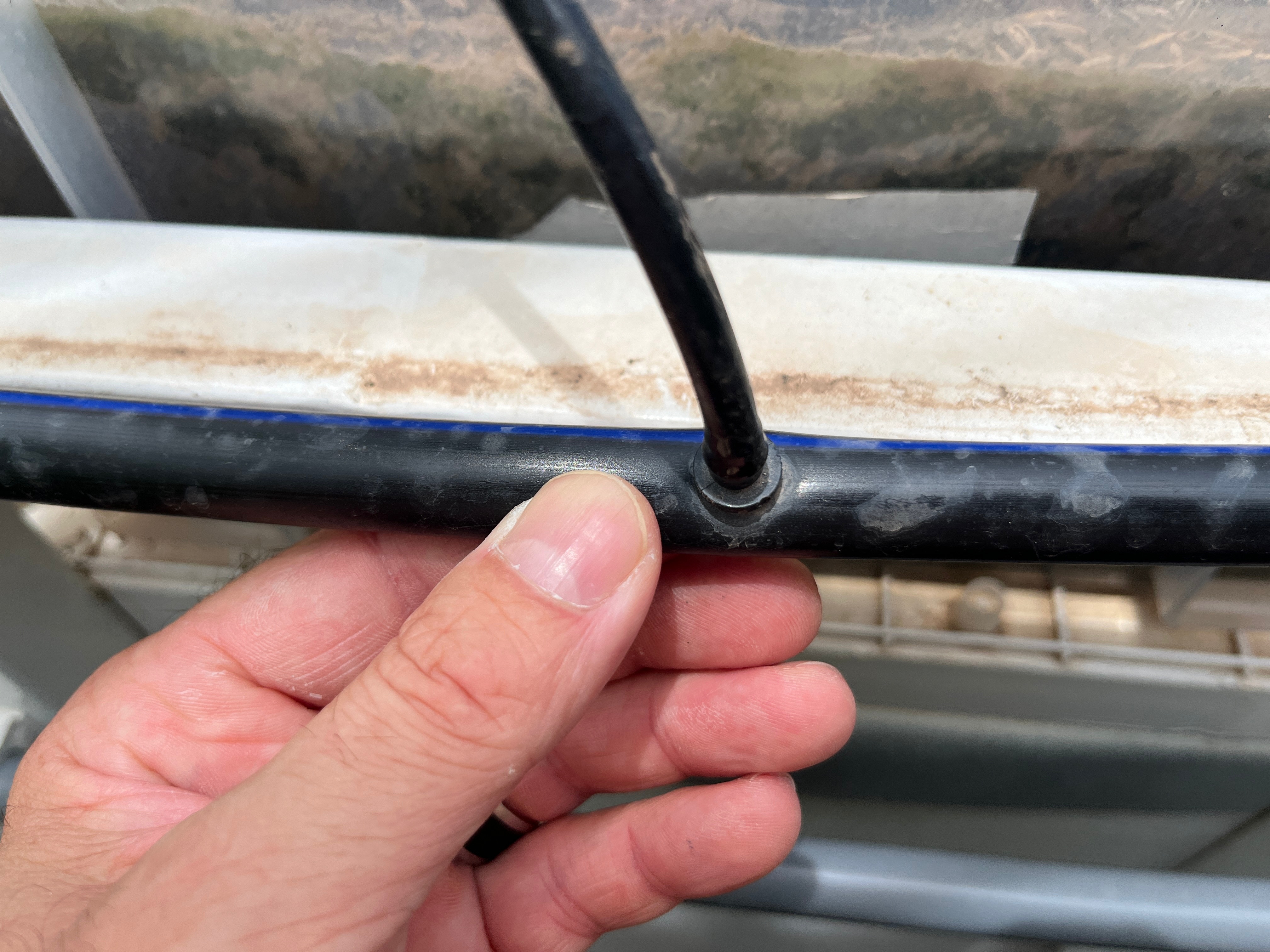
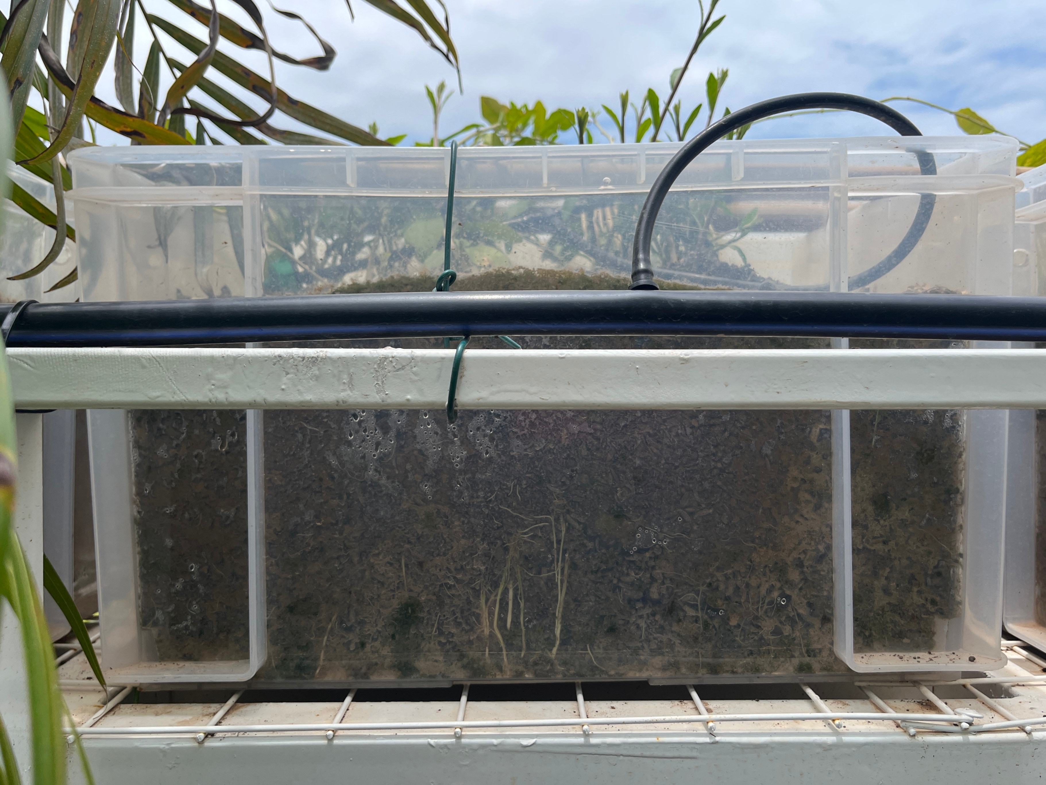
In addition to the roof and façade greenery, a sensor network from DAVIS Instruments was used, consisting of a Vintage Pro II wireless weather station, a gateway and five nodes with access to individual sensors for greenery, soil moisture, relative humidity, air temperature and leaf moisture, among others. The landscaping is supplied with mains water until the waste water filtration system is connected. The system then switches to non-potable water, eliminating the need to use fresh water for irrigation. Once the non-potable water system is in place, the building's water cycle is closed. Surplus water can be used for other purposes or discharged into the municipal network.
Up-to-date information on the TestBed 02 can be found further down this page.
Please follow the two links below that takes you to the other two test sites.